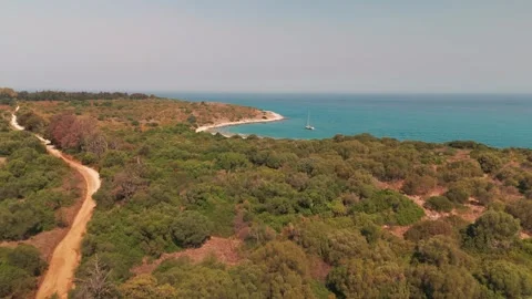
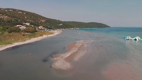
Corfu’s cinematic identity is built on a logical collision of rugged limestone drops, shifting coastal geology, and heavily layered Venetian architecture. I audited the island extensively, tracking the practical shifts from isolated western sea stacks to the flat, expansive salt pans of the south, capturing an authentic, highly textured Mediterranean environment.
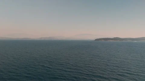
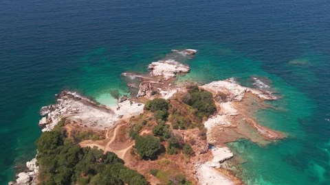
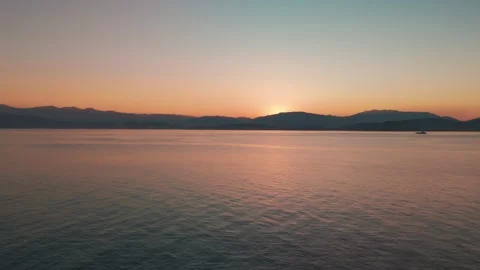
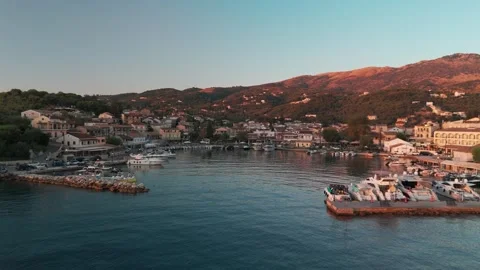
Locations featured in Corfu
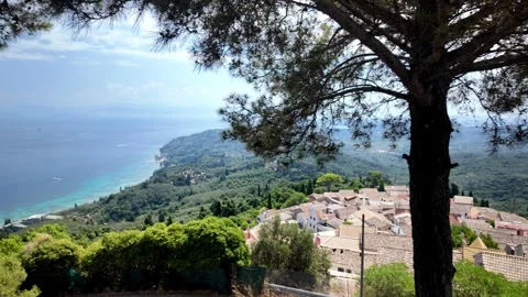
Chlomos
A mountainous traditional village featuring dilapidated stone buildings, narrow streets, and expansive views over the sea.
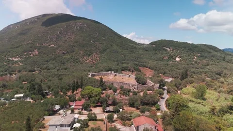
Gardiki Castle
Ancient stone ruins featuring a perimeter wall and gate, situated against a lush green backdrop.
Korission Lagoon
A massive, calm body of water separated from the sea by a narrow sandy spit.
Boukari Port
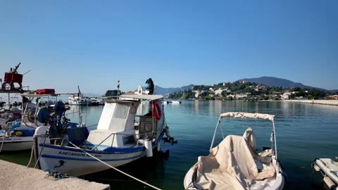
A quiet coastal port area backed by green hillsides and small shoreline structures.
Mesongi
A coastal town backed by northern mountain peaks and sprawling hillside terrain.
Skalia Beach
A secluded shoreline backed by towering, sheer limestone cliff faces dropping into the water.
Cape Asprokavos
A dramatic southern headland defined by rugged white cliffs and remote beaches.
Arkoudilas Beach
A remote sandy stretch resting beneath steep cliffs, featuring a visible shipwreck in the shallows.
Ortholithi Sea Stack
An imposing vertical rock formation standing isolated in the water off the western coast.
Agios Gordios
A vibrant western bay town situated behind a long sandy beach and framed by coastal mountains.
Ermones Bay
A picturesque coastal inlet bordered by lush green cliffs and rugged offshore rocks.
Antipsos Beach
A small shoreline defined by a prominent coastal peninsula extending directly into the sea.
Porto Timoni
A famous double beach situated on a narrow, lush green peninsula separating two bays.
Agios Georgios Bay
A wide, sweeping coastal bay with a long beach backed by agricultural land and hills.
Cape Lefkimmi
The flat southern peninsula defined by a working coastline and views toward the mainland.
Molos Salt Flats
An expansive, geometric expanse of shallow evaporation ponds along the southern cape.
Lefkimmi
A functional southern town bisected by a prominent canal lined with small boats.
Potami Lefkimmis Canal
A working waterway cutting through town, utilized by local fishing boats heading to sea.
Issos Beach
A long, continuous stretch of sand and dunes separating the open sea from an inland lagoon.
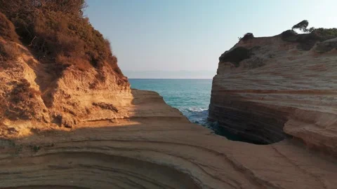
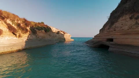
Kanali tou Erota
A famous narrow water channel carved deeply between layered sandstone rock formations.
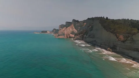
Cape Drastis
A majestic northern headland featuring jagged white cliffs, sea stacks, and hidden sea caves.
Esperii Rock
A dramatic, eroded sea stack formation sitting just off the northern sandstone coastline.
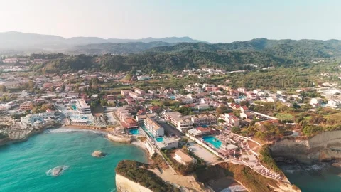
Sidari
A busy northern resort town framed by highly distinct eroded coastal geology.
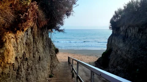
Apotripiti Beach
A small, sandy cove enclosed by rough sandstone walls and accessed via wooden steps.
Arillas Bay
A wide coastal expanse heavily trafficked by speedboats, bordered by prominent rocky headlands.
Cape Kefali
A rugged rocky peninsula crowned by a small chapel, separating two major western bays.
Agios Stefanos Avliotes
A sprawling western beach and harbor area leading up to a dominant coastal headland.
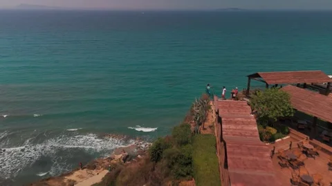
Loggas Beach
A thin strip of sand sitting beneath massive, sheer cliffs equipped with a glass viewing platform.
Gialiskari Beach
A rugged coastal lagoon bordered by green shrubland and rocky shoreline.
Agios Spiridon Beach
A coastal stretch featuring a lagoon entrance, turquoise water, and nearby rocky islands.
Kalamaki Beach
A wide, shallow sandy beach backed by lush green coastal hills in the northeast.
Apraou Bay
A scenic coastal indentation featuring turquoise water and long sandy shorelines.
Monastery Beach
A picturesque, isolated cove tucked into the rocky eastern coastline.
Syki Bay
A remote stretch of eastern coastline marked by foreground rocks and rolling hills.
Kassiopi
A bustling northeastern harbor village overlooked by ancient castle ruins on a green hill.
Mpataria Beach
A pristine, rocky cove featuring incredibly clear water near the Kassiopi headland.
Avlaki Beach
A long, pebbled eastern beach forming a wide bay frequently used as an anchorage.
Vlacherna Monastery
A historic, whitewashed church situated on a tiny islet connected to the mainland by a narrow pier.
Achilleion Palace
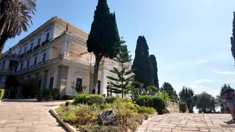
A grand Neoclassical mansion featuring detailed architecture, extensive gardens, and classical statues.
Corfu Old Town
A dense historic center defined by tall Venetian buildings, narrow alleys, and bustling pedestrian streets.
The architectural layers of a fractured history
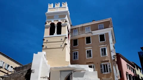
Corfu’s built environment is a bizarre but practical collision of Venetian engineering, French influence, and ground-level Greek orthodox structures. I spent considerable time filming the architectural footprint of these historical layers across the island, auditing how different centuries of occupation left distinct visual marks on the landscape. In Corfu Old Town, the density of the structures is genuinely impressive. I walked through the lively pedestrian streets, capturing the colorful Venetian houses and historic apartment buildings that look down onto the narrow alleys. The approach to the Metropolitan Church of Panagia Spiliotissa, with its distinct red facade, provides an authentic look at the religious infrastructure woven into the city block, while the Annunziata Bell Tower stands as an isolated remnant of past conflicts. I pushed my coverage out towards the Old Fortress and the Mandraki Marina, getting wide sweeping shots that frame the stone fortifications against the modern maritime traffic of the Ionian Sea. Moving away from the dense urban center, I documented the Neoclassical Achilleion Palace. I walked through the shaded pathways of the palace gardens, framing the detailed side profiles of the mansion and the imposing front view of the Achilles Statue. The terrace viewpoint here offers an expansive look at the surrounding topography, and I was actually able to capture a commercial plane descending in the distance from this vantage point. For a stark contrast in defensive logic, I flew over the ancient perimeter walls of Gardiki Castle, tracking top-down over the stone ruins set against lush green farmland, and later captured the stone breakwater looking towards the dilapidated remnants of Kassiopi Castle in the northeast.
Coastal logic and the northern sandstone formations
The northern coast of the island presents a highly specific geological profile, defined by rapidly eroding sandstone cliffs and shallow, wind-carved inlets. Navigating the airspace around Sidari requires a logical approach to wind shear, but the formations are genuinely impressive to film. I concentrated heavily on the sheer verticality of Cape Drastis, flying high-altitude boomerang shots over the headland and executing dynamic low flights that followed the rugged coastline and sea caves at sunrise. The way the early light hits these white chalk cliffs creates striking contrasts against the dark water. Moving along the coast, I documented the iconic channel of Kanali tou Erota. The narrow beach and dramatic sandstone rocks here are bizarre, visually striking examples of natural water erosion. I walked the coastal path, capturing point-of-view shots along the sandstone cliffs before putting the drone up for top-down vertical views of the channel. Further offshore, I circled Esperii Rock and Mermaid Rock, running fast, low drone passes over the water heading towards the open sea. The isolation of these rock stacks, particularly when viewed from the sandy approach of Apotripiti Beach or the glass viewpoint terrace at Loggas Beach, underscores the harsh, shifting reality of the northern coastline.
Auditing the western drops and isolated bays
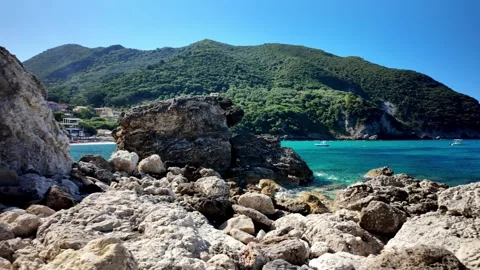
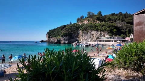
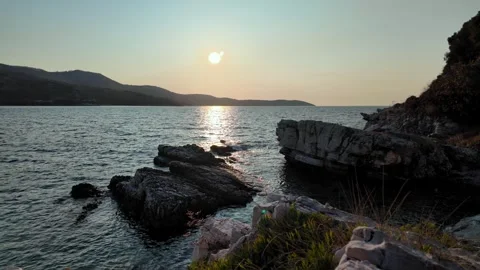
The western edge of the island is defined by sheer, rugged limestone drops that isolate several beaches from mass land access. I focused my drone work here on the severe verticality of the landscape, where the land abruptly gives way to the Ionian Sea. Skalia Beach is a prime example of this environment; I pushed the drone out over the towering limestone cliff faces, running dramatic descents down the steep edges towards the secluded beach and crystal-clear water below. The contrast between the lush green tops of the Skalia Cliffs and the barren rock faces is stark. Further south, I shot extensive golden hour and sunset aerials over Agios Gordios. The bay is visually anchored by the Ortholithi Sea Stack, an imposing offshore rock formation. I ran circling drone shots around Ortholithi, flying through the gap between the rock and the mainland to establish the spatial relationship between the sea stack and the town of Agios Gordios. I also tracked the rugged coastline near Ermones Bay, moving from the inland villas out over the turquoise sea, capturing the lush green cliffs that border the beach. The drone flights over the twin bays of Porto Timoni and the sweeping sandy curve of Agios Georgios Bay required navigating steep coastal ridges, but the resulting high-altitude top-down views map out the practical geography of these remote, highly sought-after western coves. I also made a point to document Antipsos Beach, flying over the coastal peninsula that extends out into the water, highlighting the isolated nature of these western access points.
Southern lagoons and the flat geography of the cape
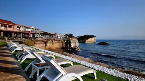
In spite of the dramatic topography found elsewhere, the southern tail of the island flattens out into an expansive, highly distinct ecosystem of salt pans and dune systems. It is an actually serene environment that provides a necessary visual counterweight to the rocky north. I spent significant time mapping the Korission Lagoon, a massive body of water separated from the sea by the long sand spit of Issos Beach. I ran high-altitude drone pans over the coastal dunes here, capturing the stark division between the open ocean waves and the calm lagoon waters. Moving further south, the landscape becomes almost entirely flat at Cape Lefkimmi. I flew cinematic drone pans across the Molos Salt Flats and the sprawling Lefkimmi peninsula. The top-down aerial views of the cape reveal a completely different texture to the island, driven by agriculture and shallow wetlands. I tracked the Potami Lefkimmis Canal, flying low over the water between moored fishing boats, crossing under bridges, and following the canal out to the Ionian Sea near Bouka Beach. The drone approaches to the Lefkimmi town center, featuring the Church of Aghioi Theodoroi, capture the practical, working-class reality of the southern port infrastructure. The footage here, particularly the morning sunrise flights over the calm water, strips away the island’s busy reputation and shows a quiet, logically organized agricultural sector.
Working the inland altitudes and mountain villages
To map the true footprint of the island, I pushed into the elevated interior where traditional settlements cling to the steep mountain ridges. The logic of building in these locations was purely defensive, but today it provides an unreal vantage point over the coastline. Chlomos is perhaps the most visually striking of these settlements. I executed high-altitude aerial boomerang shots around the village, capturing the tight clusters of terracotta rooftops set against the massive green mountainside. From the ground, I walked the narrow, downhill village streets, passing colorful old houses covered in greenery and dilapidated stone buildings, eventually reaching the Church of the Archangels. The terrace viewpoints from Chlomos offer panoramic sweeps looking out towards the Greek mainland. On a different peak, I walked through the woods to Kaiser’s Throne, documenting the viewing platform covered in padlocks and capturing wide sweeping panoramas across the expansive coastal landscape from the west coast to the east coast. I also documented the central square in Giannades, an authentic interior hub surrounded by valley views. Further north, I approached the Pantokrator Monastery, capturing point-of-view walks through the courtyard gardens, moving under the bell tower arch entrance, and panning up to the ornate painted ceiling of the interior sanctuary. These high-altitude locations are vital for establishing the tough, mountainous spine that dictates the island’s entire road network.
Navigating eastern coves, anchorages, and maritime traffic
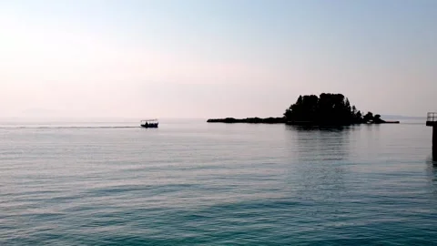
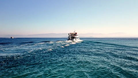
The eastern shoreline facing the Greek mainland operates as a continuous string of sheltered bays, making it the practical center for maritime movement and anchorage. I tracked the morning light as it hit these coves, starting with detailed coverage of Kassiopi. I ran sunrise drone flights over Kassiopi Harbour, flying low into the bay entrance towards the waterfront, capturing the small motorboats bobbing in the water against the backdrop of the mountains. The coastline here is incredibly fragmented; I flew tracking shots over Kanoni Beach, the rocky outcrops of Mpataria Beach, and pushed out towards Dzika Plaża and Romantyczna Plaża. Moving south along the coast, I documented the white sand and anchored sailboats at Avlaki Beach and the rugged, secluded horseshoe of Bolana Bay. I utilized high-altitude wide approaches to map the broader bays at Kerasia Beach, Kalami Bay, and Houhoulias Bay, tracking the sailboats navigating the clear waters. The eastern coverage also required auditing the major transit points closer to Corfu Town. I captured commercial planes landing directly over the runway near Pontikonisi, framing the aircraft against the small island and the Ionian Sea. I also walked the waterfront marina down to the Holy Monastery of Panagia Vlacherna, capturing the inner courtyard and the boat traffic returning to the harbor. The eastern coast is a busy, functional marine highway, and the footage reflects that constant, logical movement.