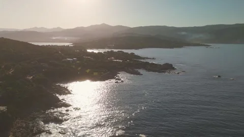
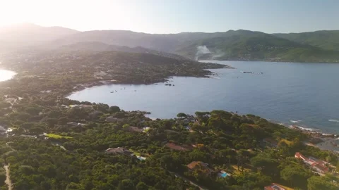
Is the French reputation of an untamed Mediterranean outpost actually earned, or just regional marketing? I spent serious time filming the coastal layers of this island to find out. The result is a practical, top-down audit of a landscape built almost entirely out of geographical spite.
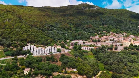
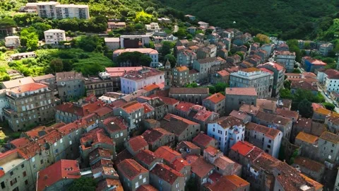
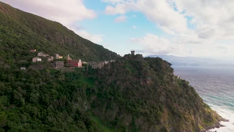
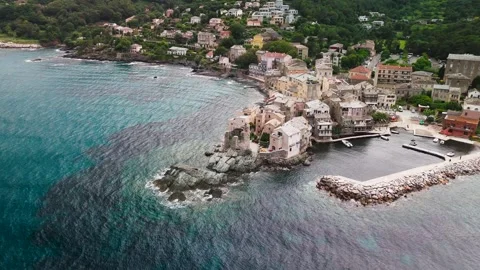
Locations featured in Corsica
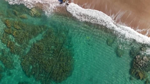
Aregno Beach
A flat, expansive stretch of golden sand meeting the Mediterranean near Algajola.
Algajola
A historic coastal town defined by its fortress walls and sweeping bay approach.
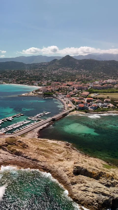
L'Île-Rousse
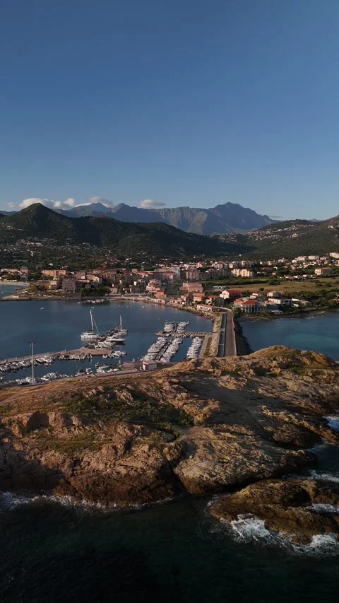
A strategic northern port town known for its active marina and immediate access to the Pietra islands.
Pietra Peninsula
A rocky, rust-colored headland extending from L'Île-Rousse, crowned by an active lighthouse and ruined tower.
Plage du Ruppione
A curving, sandy bay flanked by a rocky coastline and green hillside terrain.
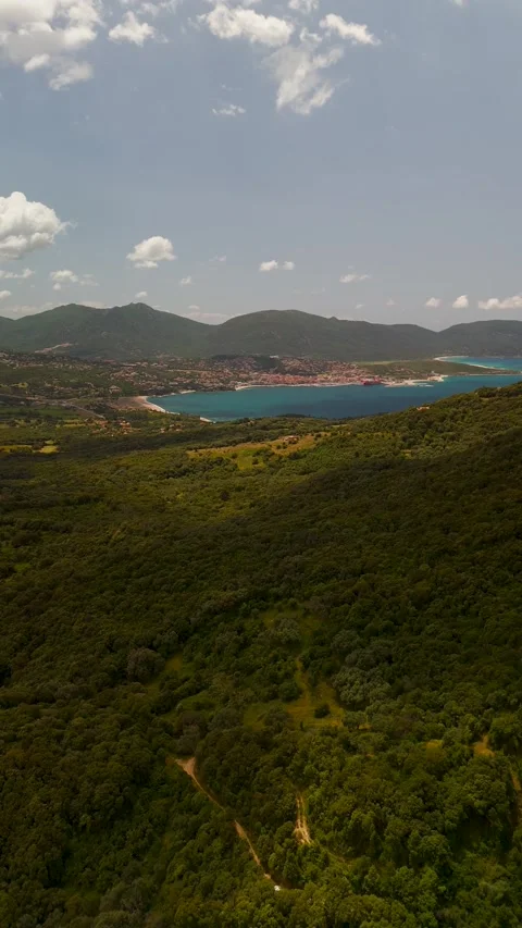
Pozzaccio Hillside
Lush, elevated scrubland rolling directly toward the western seaboard.
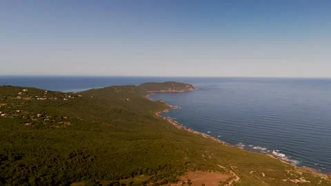
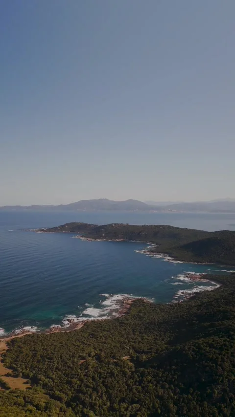
La Castagna Peninsula
A rugged, green landmass projecting into the sea along the western coast.
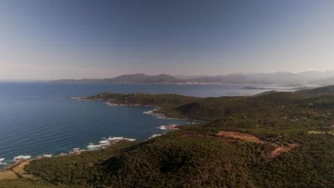
Isoella Peninsula
A jagged coastal outcrop looking north toward the distant skyline of Ajaccio.
Pointe de la Parata
An aggressive, dark rock formation guarding the entrance to the Gulf of Ajaccio, capped with a Genoese tower.
Ajaccio
The capital city with a dense waterfront, busy harbor, and prominent historical citadel.
Calvi
A massive, fortified citadel dominating a rocky outcrop above a vibrant marina.
Bonifacio
A dramatic cliffside town hanging precariously over sheer, undercut limestone drops.
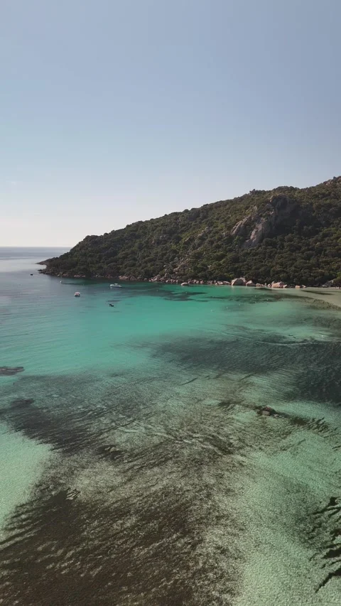
Plage Santa Giulia
A highly sheltered bay characterized by its shallow turquoise water and adjacent inland lake.
Porto Vecchio
A primary southern anchor town surrounded by a deep gulf and rolling hills.
Saint Cyprien Beach
A long, curved sandy shoreline backed by a narrow strip of land and inland water.
Plage de Pinarello
A calm, sweeping beach looking out toward protective offshore islands.
Cape Fora
A distinct headland providing a natural boundary near the Pinarello coast.
Pinarello Island
A small, prominent islet in the bay topped with another historic watchtower.
Plage de Paragan
An incredibly deep, secluded inlet cut into the limestone near Bonifacio.
Capu di Fenu
A wild, exposed stretch of western coastline battered by incoming weather.
Plage de Stagnolu
A rugged, unmanicured stretch of sand surrounded by severe rock formations.
Plage de la Tonnara
A rocky, windswept bay punctuated by small offshore sea stacks.
Plage de Carataggio
A natural, undeveloped beach only accessible by hiking trails or the sea.
Îles Cerbicale
A small archipelago of barren rock islands sitting off the southeastern coast.
Ile de Farina
An isolated offshore rock formation set against the deep blue water of the south.
Olmeto
A traditional mountainside village clinging to the steep terrain above the sea.
Propriano Bay
A vast, deep blue harbor framed by lush green hills on the western coast.
Sartene
An isolated, heavy granite town perched high above the surrounding valleys.
Macinaggio
The functional, weather-beaten marina at the northernmost edge of Cap Corse.
Îlot de Capense
A harsh, uninhabited rock standing off the coast in stormy northern waters.
Plage de l'Osse
A harsh, rocky strip of shoreline facing the eastern sea on Cap Corse.
Torra di l'Osse
A solitary coastal watchtower standing right against the waterline.
Erbalunga
A tightly packed fishing village built right onto a rocky outcrop on Cap Corse.
Bastia
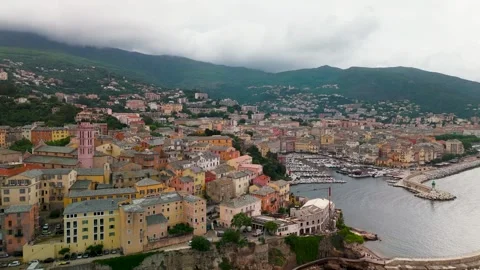
A major eastern port city defined by its dense old port and elevated citadel.
Biguglia Lagoon
A massive coastal lagoon separating the mountains from the flat eastern shoreline.
Col de Teghime
A high-altitude mountain pass offering sweeping views over both sides of the island.
Barbaggio
A quiet, elevated valley settlement tucked beneath the mountain passes.
Désert des Agriates
A barren, uncultivated expanse of rock and scrubland completely devoid of major roads.
Saint Florent
A historic harbor town anchored by a distinct, heavy circular citadel.
Nonza
A cliffside village famous for its dramatic grey pebble beach and ruined tower.
The logical audit of a Mediterranean outlier
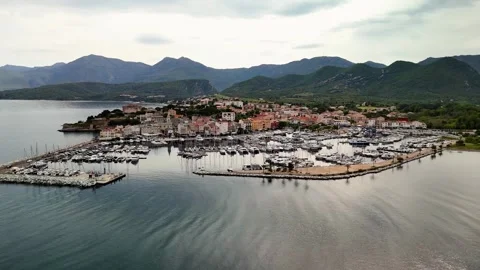
The first question I had to answer was whether the island’s imposing reputation translates to the camera. When I looked at the geography, it seemed almost bizarre: a massive granite mountain range shoved into the sea, wrapped in white sand and defensive walls. The initial establishing shots I captured around Biguglia Lagoon and the commercial edge of Bastia immediately set the tone. It is not a manicured shoreline. The coastline feels authentic, built for defense rather than leisure, which gives the aerial coverage a heavy, grounded weight. I actually found the northern approach to L’Île-Rousse to be the perfect baseline for understanding this place. You have the Mediterranean elements—turquoise water, clear skies—but the rock formations possess an aggressive, jagged texture that rejects the standard holiday aesthetic. I systematically mapped out these structural contrasts, flying the drone low over the wave breaks to capture the friction between the sea and the rugged terrain. My objective was to strip away the tourism brochures and document the structural reality of the island’s perimeter.
Coastal layers from golden sand to aggressive cliffs
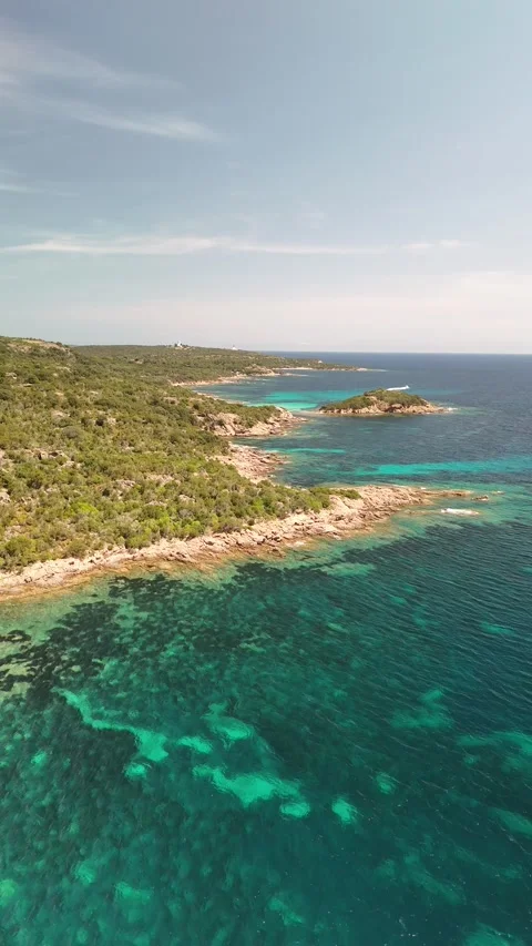
To properly index the coastline, I had to separate the approachable beaches from the sheer, unforgiving drop-offs. The footage transitions sharply between these two extremes. I ran extensive drone passes over Aregno Beach and Algajola, where the flat, golden sand provides a brief illusion of a calm, passive shoreline. But follow the coast south, and the geology rapidly shifts into hostility. The cliffs at Bonifacio are genuinely impressive, forming a severe, undercut wall of limestone that stares down the sea. I tracked along Capu di Fenu and the Plage du Ruppione to document how the green scrubland bleeds directly into exposed rock faces. The drone coverage here focuses on scale and isolation. There are no soft transitions; the land simply stops, and the water begins. I flew multiple high-altitude sweeping shots over the Pozzaccio Hillside and La Castagna Peninsula to capture this bizarre boundary. It is an environment of intense contrast, and capturing that required a logical, sustained flight plan to lock down the sheer verticality of the drops.
Tracing the Genoese watchtowers and fortresses
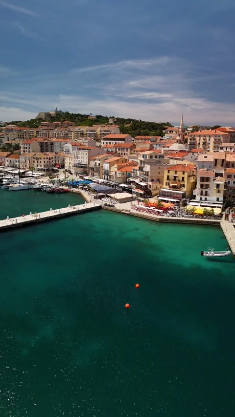
You cannot film this island without tripping over its paranoid history. The coastline is littered with military architecture, specifically the old Genoese towers that functioned as an early warning system. I made a point to fly close-proximity orbits around these structures, treating them as fixed anchors in an otherwise wild landscape. The citadel at Calvi is a massive, overbearing presence, and I pushed the drone in low over the water to emphasize its defensive posture. Further south, the Pointe de la Parata features a tower perched on jagged rock, looking out toward the Ajaccio cityscape. I ran similar sweeps around the Pietra Peninsula and its lighthouse, tracing the weathered stone against the morning light. Even in Saint Florent, the circular fortification commands the harbor with a heavy, unyielding shape. I also tracked the Torra di l’Osse, an isolated stone pillar guarding the water. These are not decorative ruins; they were built out of spite and survival, and I framed them strictly as functional, imposing monoliths dominating the horizon.
The practical realities of the Cap Corse peninsula
The northern finger of the island requires a different operational approach. Cap Corse is notoriously battered by the wind and structurally isolated. I moved up the coast to document the harbors and the cliffside settlements, starting with the functional breakwaters of Macinaggio. The approach to the Îlot de Capense required careful drone maneuvering due to the unpredictable downdrafts, but the aerial vantage point proves how rugged this extremity actually is. I tracked down to Erbalunga, where the old houses practically spill into the sea, capturing the tight, compressed nature of the architecture. On the western flank, Nonza offers a bizarre visual anomaly: a massive, dark pebble beach sitting below a ruined Paoline tower. I flew top-down vertical shots here to emphasize the sheer, almost artificial look of the grey shoreline against the water. The Plage de l’Osse further highlights this tough, uninviting coastal edge. Capturing the peninsula meant leaning into its bleak, weather-beaten atmosphere rather than trying to make it look conventionally inviting.
Interior elevation and the barren scrublands
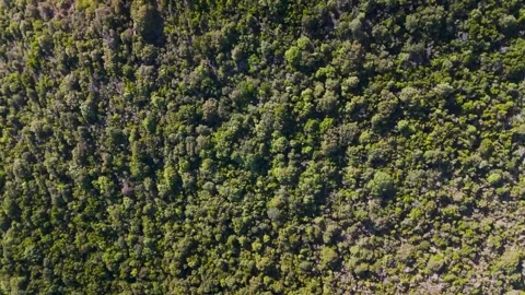
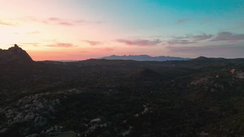
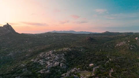
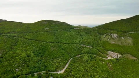
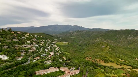
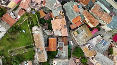
Moving inland changes the cinematic variables entirely. The coastal humidity drops, and the terrain turns into a labyrinth of dried rock and dense macchia scrub. I flew a series of tracking shots over the Désert des Agriates, a vast, empty expanse that feels completely detached from the ocean visually, despite bordering it. The isolated roads cutting through this territory offered excellent high-angle leading lines. I pushed the drone up to the Col de Teghime and hovered above the Barbaggio valley to record the dense layers of mountain ridges stacking into the distance. It is an impressive, slightly oppressive environment. I also targeted the hillside towns like Sartene and Olmeto, which look as though they were bolted onto the granite out of sheer stubbornness. The top-down views of their tightly packed rooftops reveal a highly defensive, inward-looking urban design. My coverage here is designed to show the skeletal structure of the island, bypassing the water entirely to focus on the raw, elevated topography.
Navigating the south and its secluded bays
The southern sector is a puzzle of deep inlets and rocky outcrops, demanding precise low-altitude drone work to navigate. I spent hours sweeping over the secluded coves to isolate the water dynamics. Plage de Paragan is a perfect example: a narrow, protected bay entirely cut off by the surrounding hills. I flew low passes here to show the transition from the rough sea into the calm, sheltered pocket. The same logic applied to Plage de Stagnolu and Plage de la Tonnara, where I captured the waves gently breaking against the jagged, chaotic shoreline. Moving east toward Porto Vecchio, the geography softens slightly but remains complex. I tracked the water wrapping around the Îles Cerbicale and the Ile de Farina, isolating these offshore rocks as rugged navigational hazards. I also ran a descent into Plage de Carataggio, an inlet completely hidden from the main road. The intent with these southern shots was to document the isolated, fragmented nature of the bays—pockets of water trapped by the aggressive geology of the surrounding land.
Sunrise trajectories and golden hour lighting
Lighting this environment required a very strict schedule. The rock here absorbs and reflects sunlight in bizarre ways, particularly during the first and last hours of the day. I launched the drone well before dawn to capture the sunrise trajectories across the eastern seaboard. The harbor at L’Île-Rousse completely transforms when the morning light hits the marina, throwing long, deep shadows from the moored boats. I flew similar early missions over Propriano Bay and the Plage Santa Giulia, catching the exact moment the sun cleared the ridges and hit the turquoise water. At Saint Cyprien Beach and Plage de Pinarello, the low-angle light highlights the texture of the sand and the shallow sandbars, creating a layered, multi-tonal surface. Even the small Pinarello Island and Cape Fora take on an unreal, saturated glow during these windows. I actively prioritized these low-light periods because the mid-day sun simply flattens the terrain. By shooting at the margins of the day, I was able to capture the authentic, structural depth of the coast before the glare washed it out.