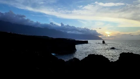
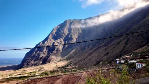
Why does the smallest of the Canary Islands yield some of the most brutal, unyielding footage in the archipelago? I went to El Hierro to practically audit its reputation for sheer volcanic drops and bizarre microclimates. The result is over a hundred clips documenting an environment entirely built on geographical spite.
Locations featured in El Hierro
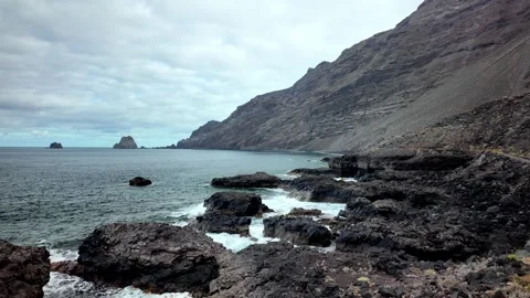
El Golfo
A massive, semi-circular volcanic valley defined by steep, towering cliff walls that plunge directly toward the Atlantic.
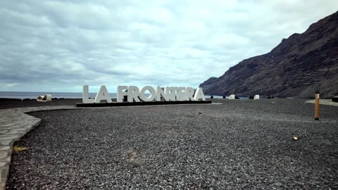
La Frontera
A rugged coastal area situated at the base of sheer volcanic cliffs, heavily exposed to the ocean's elements.
Roque de La Bonanza
An unusual, arch-like basalt rock formation rising aggressively out of the water near the island's eastern shore.
Roques de Salmor
A jagged, isolated cluster of rocks off the northwest coast that bears the brunt of the ocean swells.
Faro de Orchilla
A remote lighthouse marking the historic prime meridian, sitting alone on a barren, highly exposed western headland.
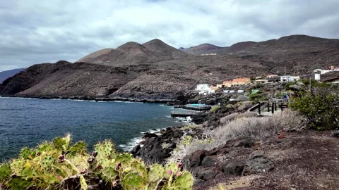
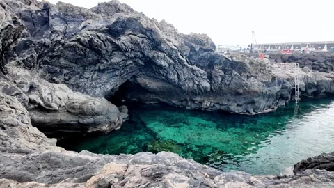
La Restinga
A southern coastal settlement surrounded by stark volcanic slopes and clear turquoise water, often engulfed by fast-moving cloud banks.
Mirador La Llanía
A high-altitude forest viewpoint that frequently sits entirely above the cloud inversion layer looking down onto the valleys.
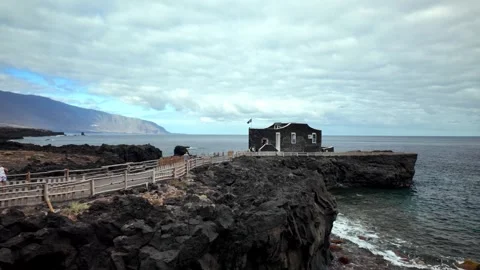
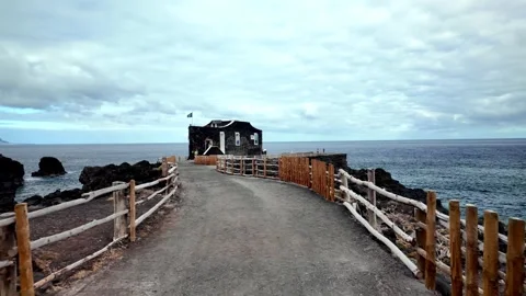
Punta Grande
A rocky, jutting peninsula famous for its tiny hotel and harsh, wave-battered stone pier.
Pozo de la Salud
A rugged coastal spot reached by winding hairpin roads, known for its historic well and steep drop-offs.
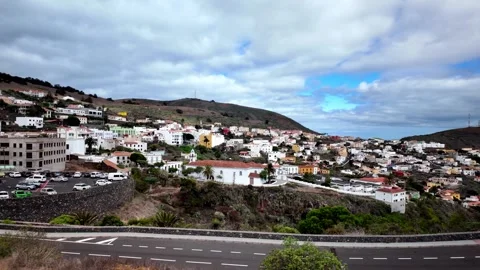
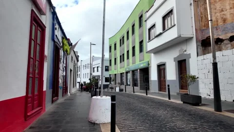
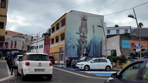
Villa de Valverde
The island's capital town, featuring practical commercial streets, street art, and wide views sloping down toward the Atlantic.
Why the western caldera dictates the coverage
You don’t have to look hard to find the geographical focal point of this island. The massive depression of El Golfo dictates the weather and the sightlines, effectively forcing you to shoot around its massive drops. My aerial coverage leans heavily into the cliffs at La Frontera, where the Atlantic batters the rock face without interruption. I spent a significant amount of time pushing the drone out over the water to get wide pan-outs of the coastal limits, catching the sunsets from Mirador Punta Del Pozo and tracking the sheer height of the coastline. It is an inherently dramatic stretch of earth, completely stripped of any commercial softness.
Negotiating the altitude and constant cloud inversions
The practical reality of filming here is that you are constantly fighting, or using, the cloud layer. You can be standing in direct sun on the coast and drive up into a dense, wet forest ten minutes later. I shot extensive driving POVs along the HI-400 and the misty stretches of the HI-1 to document these extreme microclimates. Up at Mirador La Llanía and Mirador de El Julan, I ran timelapses specifically to capture the cloud inversions rolling over the green mountains. Even down south, around the fishing settlement of La Restinga, the footage captures clouds aggressively swirling over the volcanic slopes before dropping down to the turquoise water.
Tracing the isolated offshore basalt and outposts
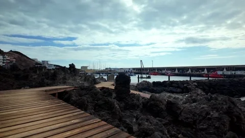
There is a bizarre beauty to the isolated rocks that surround the island. I dedicated a large portion of the drone battery to circling Roque de La Bonanza and the jagged cluster of Roques de Salmor, testing different altitudes and approach angles. The same applies to Punta Grande and the lonely Faro de Orchilla on the western edge. Accessing these spots often meant navigating winding hairpin roads like the HI-500 down to Pozo de la Salud, or hiking out past Arenas Blancas. I made sure to mix high-altitude drone tracking with ground-level walking POVs through Villa de Valverde and along the volcanic boardwalks to ground the intimidating dimensions of these geological outliers.