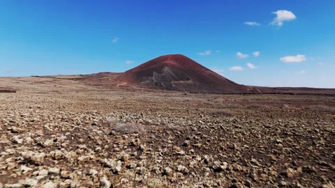
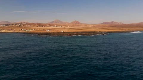
Fuerteventura is frequently misunderstood as just a barren rock or a cheap winter sun trap, but from the air, its geology is actually fiercely impressive. I mapped this island extensively by drone to document its harsh volcanic spine, isolated western cliffs, and empty desert roads.
Locations featured in Fuerteventura
Corralejo Natural Park
Vast white sand dunes meeting the Atlantic ocean along the northern coastline.
Corralejo
Northern coastal town featuring a bustling port looking out toward neighboring islands.
El Cotillo
Coastal town on the northwest, heavily defined by its protective harbor and coastal cliffs.
Calderón Hondo
Partially collapsed red volcanic crater set within a dry desert landscape.
Lajares
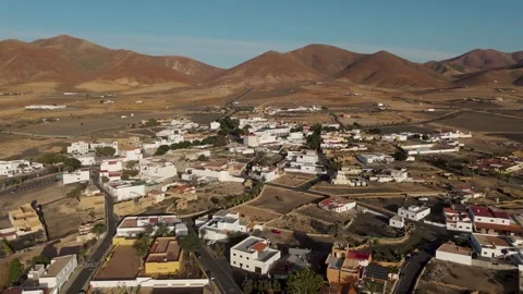
Inland desert town surrounded by prominent volcanic peaks and arid plains.
La Oliva
Inland agricultural and historic town sitting squarely amidst flat volcanic plains.
Castillo de El Tostón
Historic, circular defense tower perched on the coastal cliff edge near El Cotillo.
Playa del Castillo
Distinctive white sand beach located just south of El Cotillo's defensive fortifications.
Montaña Roja
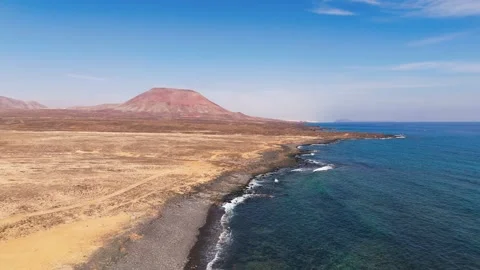
Striking red volcanic mountain rising sharply immediately next to the eastern coastline.
Playa del Jablito
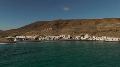
Rugged volcanic bay sheltering a tiny, traditional oceanfront fishing settlement.
Volcanes de Bayuyo
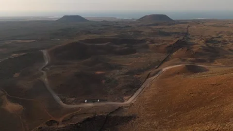
A dramatic linear alignment of volcanic craters stretching toward the northern coast.
Ampuyenta
Isolated desert village defined by its historic church and arid, mountainous surroundings.
Faro de la Entallada
Distinctive lighthouse complex positioned dramatically atop a terrifyingly steep coastal cliff.
Antigua
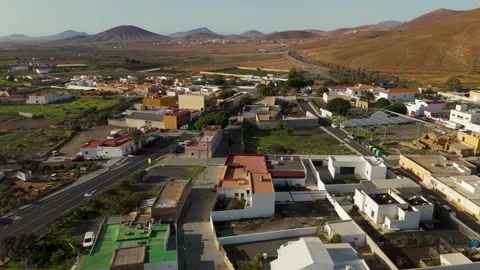
Central inland town surrounded by a vast desert mountain range and straight roads.
Ajuy
Black sand beach and dramatic coastal village backed by massive sea cliffs.
Sea Caves of Ajuy
Deep coastal caverns carved into towering black volcanic rock by crashing waves.
La Pared
Immensely rugged western coastal cliff edge battered continuously by heavy Atlantic surf.
Playa de Sotavento
Massive tidal lagoon beach system sweeping along the southern edge of the island.
Morro Jable
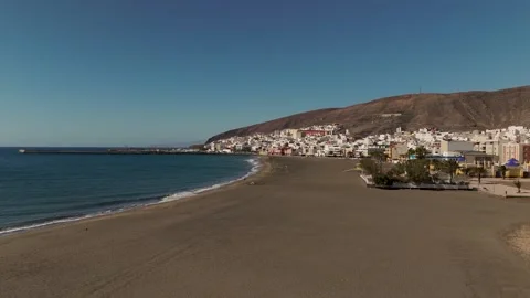
Southern coastal hub where steep volcanic cliffs suddenly yield to vast stretches of white sand.
Esquinzo Beach
Golden sandy stretch nestled directly beneath deep ravine cliffs on the Jandia peninsula.
Barranco de Esquinzo
Deeply carved desert valley leading straight through the terrain into the Atlantic ocean.
Playa el Salmo
Remote sandy shoreline defined by pristine sand dunes spilling directly into the water.
Juan Gomez Beach
Isolated strip of sand tucked tightly against sheer volcanic mountain faces in the south.
Faro Punta de Jandia
Remote lighthouse standing at the extreme southwestern tip of the island's peninsula.
El Puertito
Sparse, isolated fishing village at the southern tip marked by small anchored boats.
Puerto de la Cruz
Dramatic volcanic coastline area framing the remote southern fishing outposts.
Playa de los Ojos
Tiny, cave-pocked remote beach accessible only via harsh cliffside dirt tracks.
La Lajita
Quiet pebbled beach and fishing village marked prominently by an oceanfront church.
Gran Tarajal
Substantial coastal town built against dark volcanic mountains featuring a large modern marina.
Pozo Negro
Small coastal settlement nestled tightly between severe, dark black volcanic ridges.
Tiscamanita
Quiet inland agricultural village known primarily for its traditional restored windmill.
Tuineje
Wide desert municipality sitting in a sun-baked volcanic valley in the island's interior.
Playa de La Señora
Undeveloped golden beach flanked intensely by the barren, rocky Jandia mountains.
Isla de Lobos
Small barren volcanic islet lying just offshore from the busy Corralejo coastline.
The geological realities of a desert island
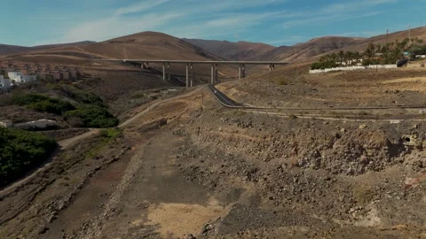
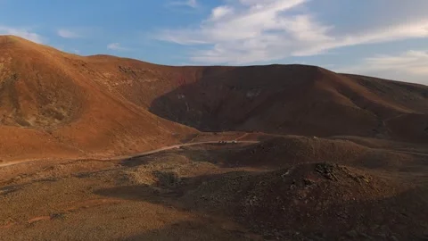
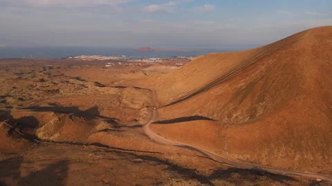
Actually flying over the interior reveals an impressive, almost alien topography that defines the island’s core. It is highly practical to start inland where the volcanic history is most obvious, rather than defaulting immediately to the coast. I spent days mapping the airspace around the Volcanes de Bayuyo, running wide circling paths and vertical orbits over the partially collapsed craters at dusk to show the distinct layers of red rock. The arid stretch surrounding Calderón Hondo is completely isolated, requiring low-altitude passes to properly convey the harshness of the dry desert landscape. Further south, the inland plains open up into vast, sun-baked expanses. I tracked the long, straight desert roads leading into Antigua, and ran low circles over the historic church in Ampuyenta. The light out here is unrelenting, casting sharp shadows across the barren mountain ranges surrounding Tuineje and Lajares, making early morning or late evening flights the only logical choice for capturing depth in the terrain. You do not come here for lush scenery; you come for the stark, authentic geometry of a landscape stripped back to bare rock.
Aerial mapping of the expansive northern dune systems
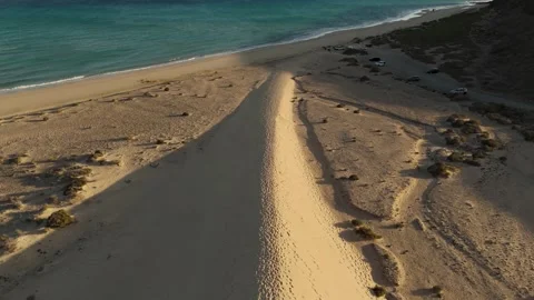
The northern coast demands altitude to properly register its sheer geographical footprint. Corralejo Natural Park is a bizarre collision of environments, where miles of white sand dunes push directly up against black volcanic rock and the turquoise Atlantic. I executed high-altitude descents and top-down helical pulls over these dunes to capture the sharp visual boundary where the desert meets the ocean. The coastal flight paths here naturally lead toward the port of Corralejo itself, where I filmed wide pans of the town and sweeping reveals looking out across the water toward Isla de Lobos. The wind off the ocean here is a constant, practical hurdle when flying, but the resulting footage is incredibly clean. Just south of the dunes, the imposing profile of Montaña Roja rises abruptly from the coast. I ran low tracking shots along the water, using the deep blue of the ocean to contrast against the striking red volcanic slopes of the mountain.
Navigating the sheer aggression of the western cliffs
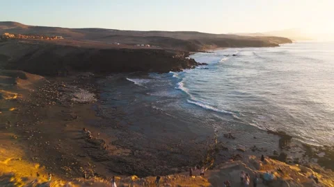
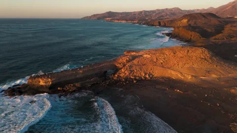
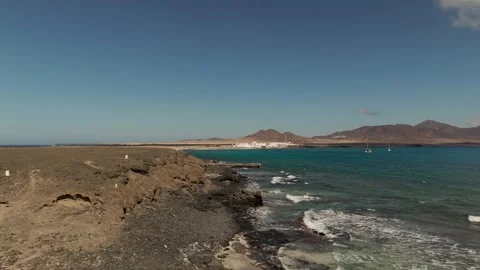
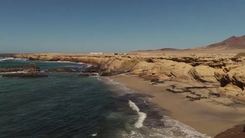
The western coastline feels like it was built entirely out of spite. It is an incredibly rugged, hostile environment battered endlessly by heavy Atlantic surf, and it provides the most dramatic aerial coverage on the island. I focused heavily on La Pared, timing my flights for sunset to capture the crashing waves illuminating the sheer volcanic drops. The updrafts here are vicious, requiring careful top-down passes and wide circling reveals to safely frame the cliff edges. Further up the coast, the Sea Caves of Ajuy present a massive geological anomaly. I flew close approaches right into the mouth of the towering black caverns, pulling out to reveal the pounding ocean and the dark volcanic coastline stretching away toward the town of Ajuy itself. Tracking further south along unpaved dirt tracks, I found Playa de los Ojos, where I shot tight top-down views of waves smashing into cave-pocked rocks. This entire western front is an exercise in isolation, yielding deeply atmospheric, stormy footage that cuts sharply against the island’s sunny reputation.
The massive scale of the isolated southern peninsula
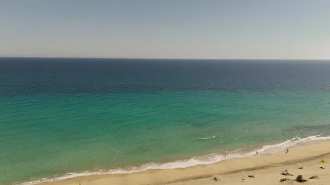
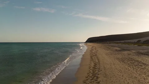
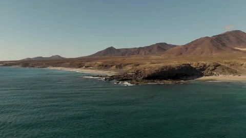
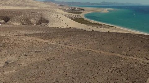
Mapping the Jandia peninsula requires a logistical commitment to long flight times over empty, arid mountain ranges. The southern stretch is defined by its massive tidal lagoons and sheer distance from the northern hubs. I shot extensive aerial descents over Playa de Sotavento, tracking the intricate, shifting sand patterns created by the tide. As you push further south past the heavy hotel developments of Morro Jable, the coastline regains its wild, isolated edge. I mapped the deep ravine cuts at Barranco de Esquinzo, dropping the drone from the cliff edge down to the white sands of Esquinzo Beach. The real cinematic value here lies in the completely undeveloped, empty stretches. I ran dynamic, fast flights over the pristine dunes of Playa el Salmo, and executed low ocean approaches toward Juan Gomez Beach and Playa de La Señora, where golden sand is wedged tightly against barren, imposing mountain faces. It is a completely unreal environment when framed correctly from the air.
Tracing the forgotten coastal fishing settlements
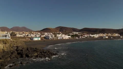
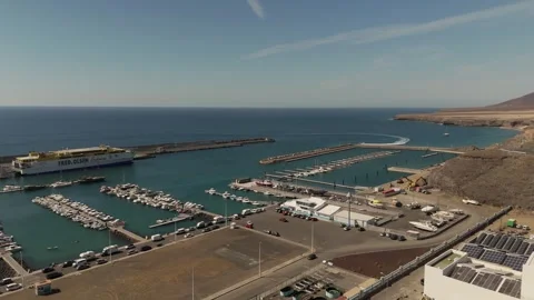
The island is dotted with tiny, heavily weathered outposts that offer a stark contrast to the modern infrastructure. I started in the northwest at El Cotillo, circling the historic Castillo de El Tostón as it stands guard over the rugged coastal shelf, before pulling out over the white sands of Playa del Castillo. On the eastern flank, I flew low coastal tracking shots over the tiny, traditional fishing settlement at Playa del Jablito, capturing its protected volcanic bay. Moving south, the towns become more entrenched in the rock. I executed mountain reveals over the substantial marina at Gran Tarajal, and tracked the dark, severe ridges surrounding the small settlement of Pozo Negro. Even further off the beaten path, I flew low altitude approaches over the quiet pebbled beach and oceanfront church at La Lajita, and documented the sparse, anchored boats at El Puertito in Puerto de la Cruz on the southern tip. These locations provide the necessary, authentic architectural context to ground the vast landscape shots.
Extreme structural isolation and inland outposts
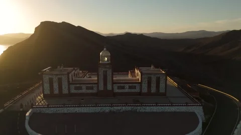
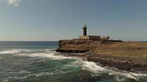
The logical endpoint for an aerial survey of Fuerteventura involves its most remote structures. I drove to the extreme southwestern tip to film Faro Punta de Jandia, running extra wide approaches over the ocean to emphasize the lighthouse’s absolute isolation at the end of the world. On the eastern coast, Faro de la Entallada provided a bizarre architectural subject; it is a sprawling, cliff-top complex perched on a terrifying vertical drop, which I shot using top-down circling paths to highlight the sheer vertigo of its placement. Inland, I sought out the agricultural history of the island, shooting wide circles around the restored windmill in Tiscamanita, using the early sunrise light to cast long shadows across the flat plains toward La Oliva. Every structure here feels like it is holding its ground against the elements, and isolating them within the frame is the most honest way I found to capture the island.
The practical demand for vertical aerial perspectives
I intentionally duplicated much of my flight paths to capture a massive block of 9:16 vertical footage, recognizing the practical reality of modern editorial demands. I ran vertical orbits around the Volcanes de Bayuyo crater, shot vertical descents into the rocky surf at Ajuy, and tracked straight down over the cliff edge at La Pared. Framing the island’s geometry in a vertical aspect ratio actually forces a tighter, more abstract focus on the crashing waves and sheer drops, turning a traditional landscape shot into an intense study of texture and motion.