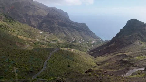
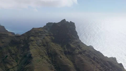
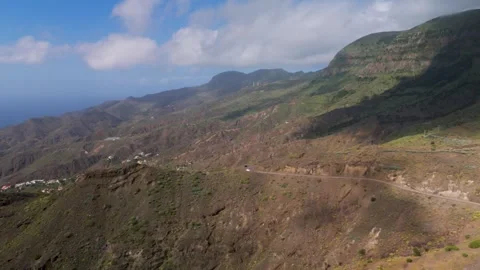
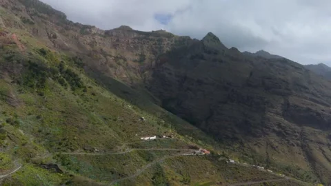
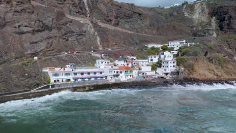
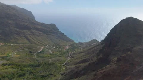
La Gomera doesn’t care about your beach holiday. It is an island defined by verticality, sheer drops, and unforgiving volcanic ravines. I shot this entirely from the air to logically map how extreme isolation shapes the landscape, from the coastal crash of the Atlantic to the tiered hillside settlements.
Locations featured in La Gomera
Valle Gran Rey
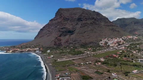
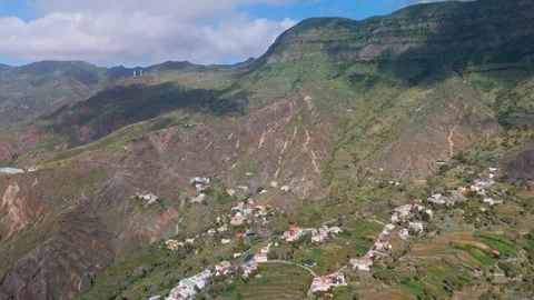
A massive, deep ravine cutting to the sea, defined by terraced hillsides and clustered, colourful housing along its steep walls.
Taguluche
An isolated, terraced valley bowl surrounded by sheer mountain ridges and dropping sharply toward the western ocean.
Lomo del Carreton
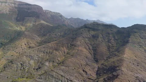
A towering mountain cliff face that perfectly demonstrates the extreme verticality and rugged topography of the island's interior.
Alojera
A rural coastal town scattered across a dramatic volcanic ravine, fully exposed to the raw weather of the Atlantic.
Charco de Alojera
A rugged coastal settlement and natural pool area featuring a small fishing pier continuously battered by turbulent ocean waves.
Playa de Las Salinas
A wild volcanic stone beach on the western coast where heavy Atlantic surf meets unforgiving rock formations.
Playa de La Calera
The coastal beach settlement at the mouth of Valle Gran Rey, squeezed between the ocean and dense hillside housing.
La Puntilla
A coastal pocket in Valle Gran Rey sitting directly beneath massive, imposing valley walls.
Vueltas
The port neighborhood of Valle Gran Rey, nestled practically against towering sheer cliffs by the water's edge.
The necessity of an aerial perspective
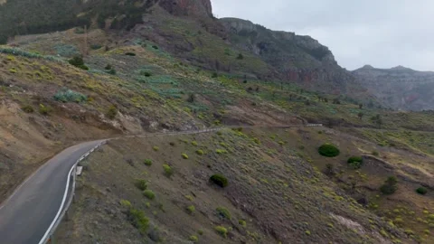
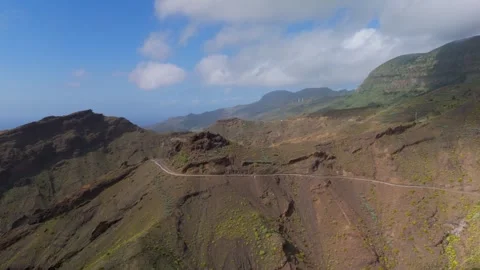
The topography of La Gomera is frankly bizarre. The island is essentially a fortress of deep ravines and sharp mountain ridges, making ground-level shooting practically redundant if you want to capture the actual scale of the place. My coverage here is exclusively drone-based. I focused heavily on the massive drops around Lomo del Carreton and the isolated valley bowls of Taguluche. When you push a camera over these ridges, the reveal is immediate and impressive—you see exactly how the volcanic rock dictates every mountain road and settlement across Vallehermoso.
Coastal collision and Atlantic exposure
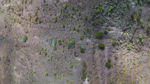
This isn’t a calm sea; the Atlantic batters this western coastline out of pure spite. I spent significant time mapping the turbulent water where the ocean meets the sheer volcanic rock. The footage tracks the crashing waves over the fishing pier at Charco de Alojera and the wild coastline stretching toward Playa de Las Salinas. There is a brutal logic to how the water carves the rock here, and the top-down aerials of the surf hitting the shoreline at Alojera demonstrate the total isolation of these coastal fringes.
Human settlement clinging to the ravines
People live where the rock allows it, which usually means terraced hillsides and tight valley floors. The architectural footprint is layered and entirely practical. In Valle Gran Rey, I flew wide establishing pans to document the colourful homes stacked along the valley walls. The coverage moves down from the high-altitude interior into the coastal settlements, capturing the tight clustering of buildings at La Calera and La Puntilla. I also mapped the approach into Vueltas, showing how these coastal pockets survive against the sheer backdrop of the interior mountains.