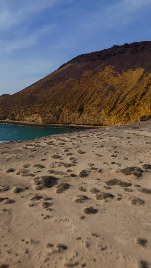
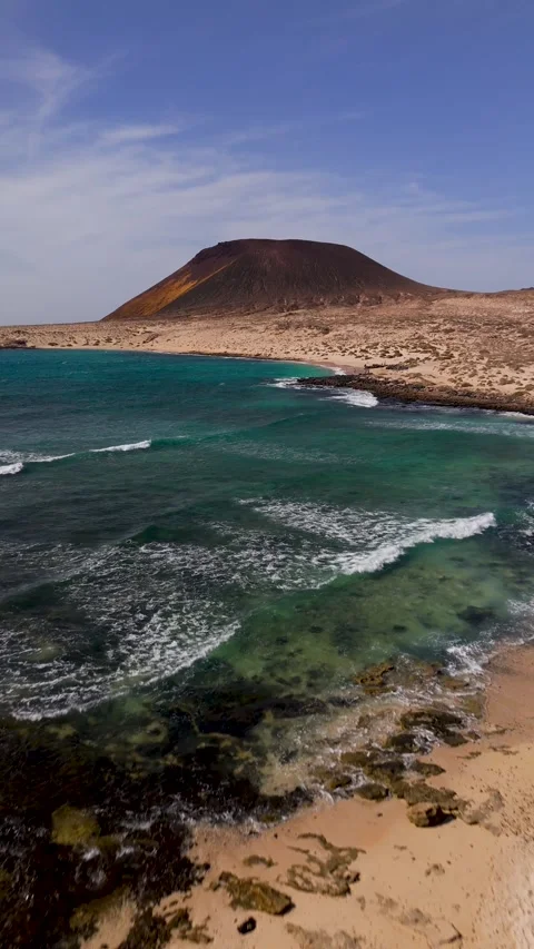
La Graciosa is entirely unpaved, practically devoid of infrastructure, and defined by its isolation. I spent my time here mapping its stark volcanic contrasts from the air. The resulting coverage audits the island’s arid plains, isolated sandy bays, and the dominating caldera of Montaña Amarilla against the Atlantic.
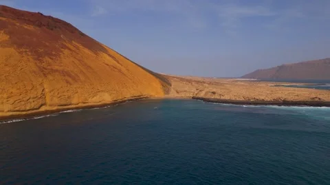
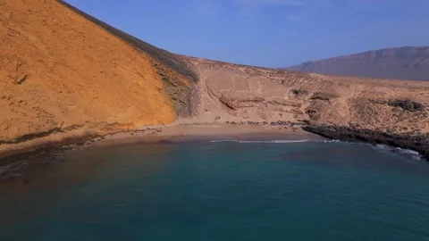
Locations featured in La Graciosa
Montaña Amarilla
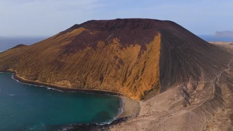
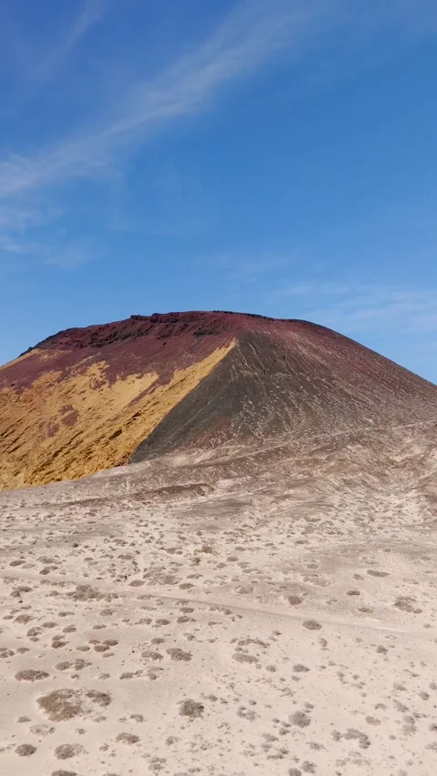
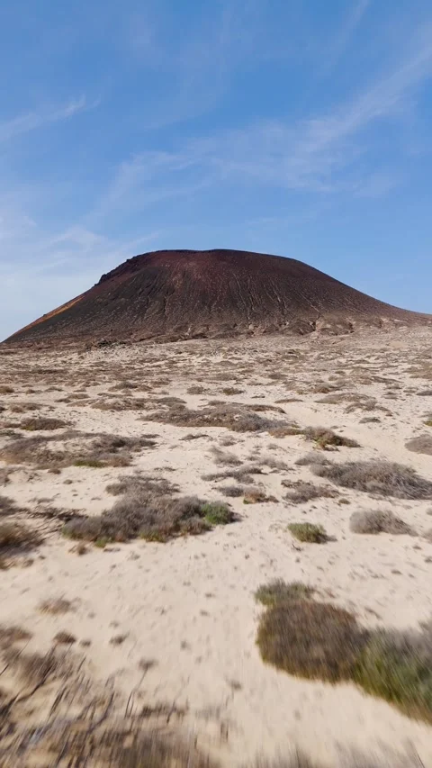
The striking yellow volcanic cone dominating the southwestern corner of the island.
Playa La Cocina
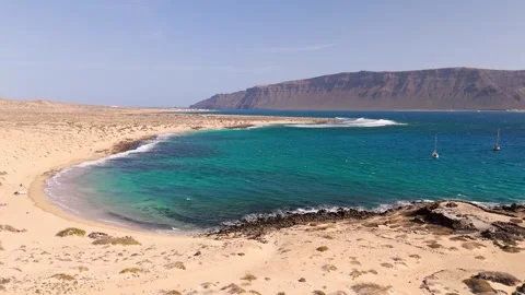
A secluded, crescent-shaped cove tucked directly beneath the sheer slopes of the Yellow Mountain.
Playa Francesa
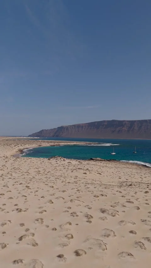
A wide, white-sand bay on the southern coast offering clear sightlines across the ocean strait.
Playa del Salado
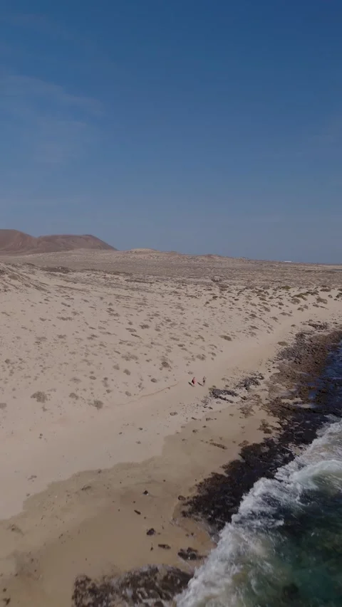
An expansive stretch of flat, sandy coastline trailing along the southeastern edge of the island.
Auditing an unpaved volcanic desert
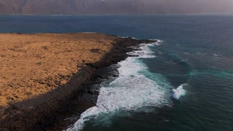
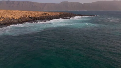
La Graciosa forces a practical approach to filming; there are no paved roads to rely on, just tracts of sand and hardened lava. My aerial coverage focuses heavily on the stark, isolated geography of this northern outpost. I tracked the black volcanic coastline where it meets the Atlantic, capturing the complete lack of modern infrastructure that defines the arid plains heading inland towards Playa del Salado.
Aerial scale along the southern bays
The southern edge of the island offers an impressive colour contrast between bright water, pale sand, and dark rock. I flew extensive high-altitude and low-panning routes over Playa Francesa, capturing the wide, empty expanses of the bay. From there, my drone coverage pushes westward into Playa La Cocina, pulling back to reveal the scale of the beaches with the imposing silhouette of neighbouring Lanzarote sitting firmly on the horizon.
The dominance of the Yellow Mountain
You actually can’t document this island without circling Montaña Amarilla. The ‘Yellow Mountain’ anchors the western coastline and dictates the surrounding topography. I ran multiple flight paths here, from low approaches over the black lava fields to high-altitude vertical pans that isolate the volcano’s peak against the ocean. The footage audits the mountain from almost every practical angle, detailing its sheer slopes and the distinctive yellow rock bleeding into the surrounding bays.