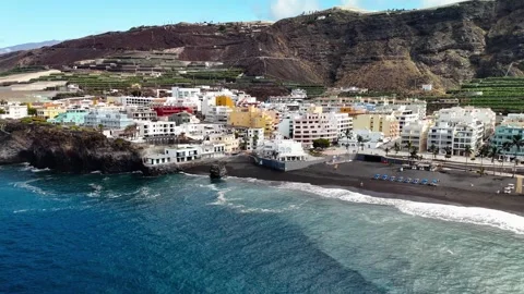
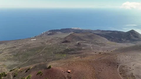
La Palma’s coastline is a masterclass in geological spite, a genuinely isolated, rugged environment where sheer volcanic drops meet the Atlantic. I spent my time in the air here auditing its sheer scale, mapping everything from deep volcanic craters to the bizarre cliff-built settlements clinging to the edge.
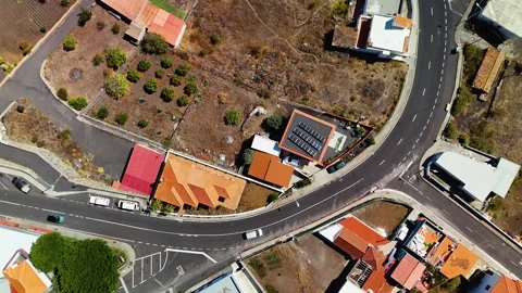
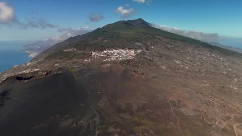
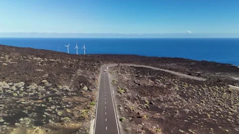
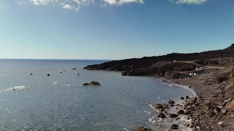
Locations featured in La Palma
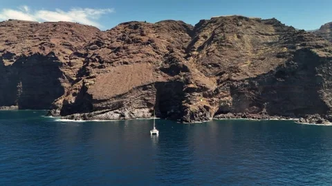
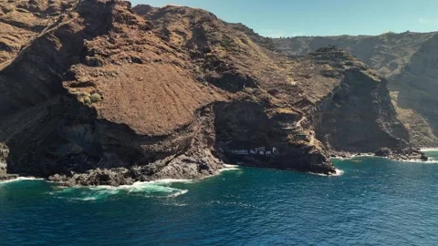
Poris de Candelaria
A tiny, isolated settlement built deep into a massive coastal cave system on the island's western cliffs.
San Antonio Volcano
A prominent volcanic cone in the south featuring a perfectly defined crater rim surrounded by vast ash fields.
Fuencaliente
The southernmost municipality known for its vast lava fields, historic lighthouse, and adjacent working salt pans.
Los Canarios
The main high-altitude town of the Fuencaliente region, sitting directly on the slopes beneath the volcanic cones.
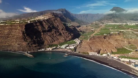
Puerto de Tazacorte
A coastal town set at the mouth of a massive gorge, featuring a dark sand beach and a large maritime port.
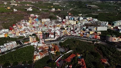
Villa de Tazacorte
The elevated town center sitting above the coastal port, heavily surrounded by dense terraced agriculture.
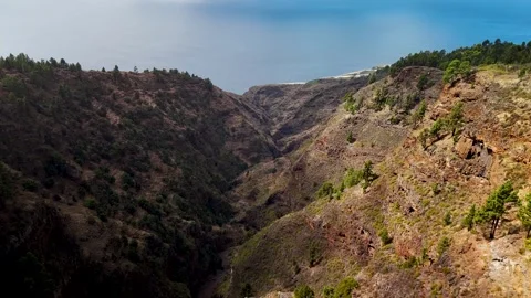
Barranco de Garome
A steep, deep valley cutting heavily through the mountainside, intensely lined with agricultural terraces.
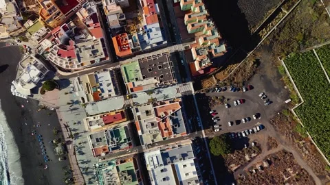
Puerto Naos
A coastal settlement backed by massive cliff-side banana plantations and overlooking the open ocean.
La Bombilla
A small coastal village almost entirely surrounded by sprawling, geometric banana farms.
Charco Verde Beach
A sheltered black sand cove sitting just south of Puerto Naos among the rugged volcanic rock.
Salinas de Fuencaliente
Geometric salt pans sitting directly on the exposed southern tip of the island next to the lighthouse.
Punta Lava Lighthouse
A modern, functional lighthouse built out on a solidified lava flow on the western coast.
The geological realities of the western edge
La Palma isn’t built for easy coastal access; it is an island defined by altitude and sudden, practical drops. My aerial coverage focuses heavily on this rugged limitation, tracking the sheer faces around Poris de Candelaria where small white houses are built straight into the cliff cavities. From the air, you actually see the authentic layers of volcanic rock that define the shoreline, stretching all the way down to the Puerto de Tazacorte valley. I kept the drone moving to capture the impressive isolation of these coastal cuts, bypassing the standard beach angles to show the raw, unpolished rock.
Tracking craters and coastal beacons
Filming an environment this exposed means relying entirely on the drone to establish a logical sense of scale. The San Antonio Volcano requires significant distance to make sense of the crater rim, so my approaches here use wide pans to contextualize the ash fields against the ocean. Further south, the Fuencaliente Lighthouse and the adjacent Salinas de Fuencaliente sit on a bizarrely flat shelf of solidified lava. I ran low approaches over these specific structures to emphasize how isolated they are against the constant Atlantic swell.
The bizarre geometry of banana plantations
What actually surprised me from above was the sheer volume of agriculture engineered onto this rock. Around La Bombilla and Puerto Naos, massive banana plantations break up the volcanic coastline with harsh, geometric patterns. I focused a significant portion of my flights on these farms, circling the coastal terraces and flying up the Barranco de Garome to show how human infrastructure stubbornly clings to the mountainside. It is an impressive visual contrast between natural chaos and rigid, practical human lines.