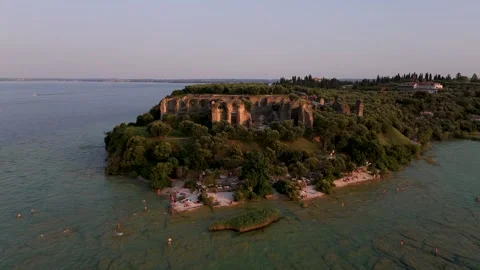
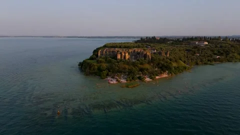
Lake Garda’s southern shore carries a reputation for heavy foot traffic and aggressive tourism. I wanted to logically audit whether the geography actually justified the crowds. Filming entirely from the air, I mapped out the sheer physical scale of these medieval settlements protruding into the water.
Locations featured in Lake Garda
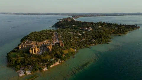
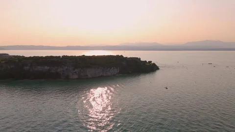
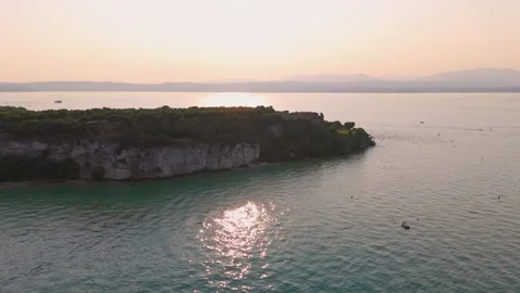
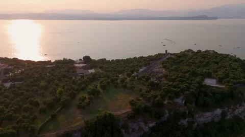
Sirmione Peninsula
A remarkably narrow, heavily fortified strip of land protruding deep into the southern end of the lake.
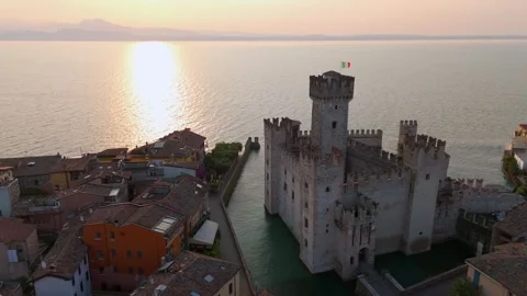
Castello Scaligero di Sirmione
A 13th-century moat-surrounded fortress acting as the sole entrance point to the historical peninsula.
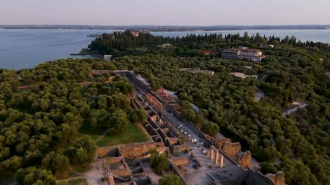
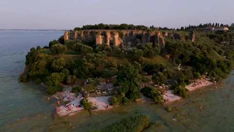
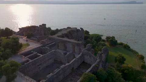
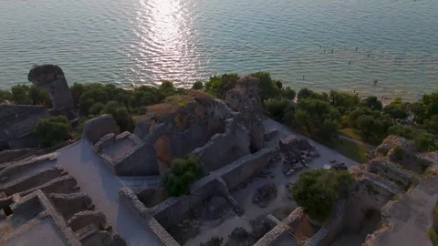
Grotte di Catullo
Expansive ruins of a massive Roman villa complex situated at the extreme northern tip of Sirmione.
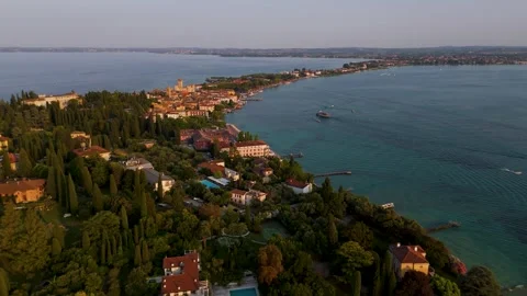
Desenzano Del Garda
A prominent southern shoreline town anchored by a large marina and a dense, historically structured core.
Castello di Desenzano del Garda
The dominant hilltop castle overlooking the colourful residential rooftops and the main harbour.
Centro Storico
The historic center of Desenzano, characterized by tight, colorful rooftops built directly up from the water.
Why the southern water margins earn their airtime
The geographic logic of Lake Garda’s southern edge becomes completely obvious from 400 feet up. Rather than shoot generic water views, I focused my drone coverage on the landmasses that physically command the lake. The Sirmione Peninsula is the most bizarre geological feature here—a remarkably narrow strip of land extending over two miles into the water. My aerials map the entire progression of this spit, from the dense medieval bottlenecks right out to the northern tip where the Roman ruins of Grotte di Catullo sit isolated against the water. It’s an impressive strategic footprint that you simply cannot read from ground level.
Auditing the historic architecture from above
Moving away from the isolated ruins, I wanted to document the structural density of the local towns. In Desenzano Del Garda, I ran multiple flights over the Centro Storico, tracking the tight, colourful rooftops up towards the Castello di Desenzano del Garda. From the air, you see exactly how the town was engineered around the water. I captured low passes over the marina, documenting the sailboats and ferries docked tightly against the stone promenades. In Sirmione, the Castello Scaligero di Sirmione effectively acts as a gatekeeper to the peninsula. I secured top-down verticals and circling approaches of this castle at various altitudes, mapping the moat and fortified walls in precise detail.
The practical realities of low light on the lake
Shooting a large body of water presents persistent glare issues, so I deliberately restricted a significant portion of this coverage to the edges of the day. The sunrise approaches over Lake Garda at Sirmione offer the cleanest architectural contrast, cutting through the typical atmospheric haze. Tracking the Sirmio Peninsula during sunset allowed me to capture the long shadows cast by the dense vegetation and ruins across the small beaches. The light shifts rapidly across these historic structures, and my early morning tracking shots of the historic churches and coastal edges reflect the stark, authentic reality of the landscape before the daily influx of crowds.