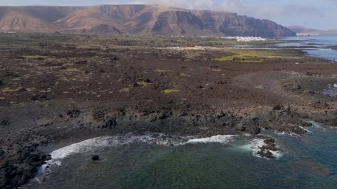
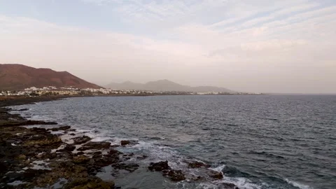
Lanzarote usually gets written off as a package-holiday cliché, but point a drone at its fringes and the reality is far more severe. I mapped the island’s brutal volcanic collisions with the Atlantic entirely from the air, ignoring the sunbeds to focus logically on jagged coastlines, isolated lighthouses, and bizarre turquoise rock pools.
Locations featured in Lanzarote
Caletón Blanco
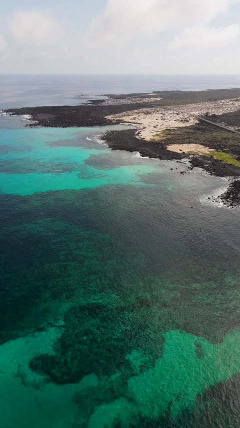
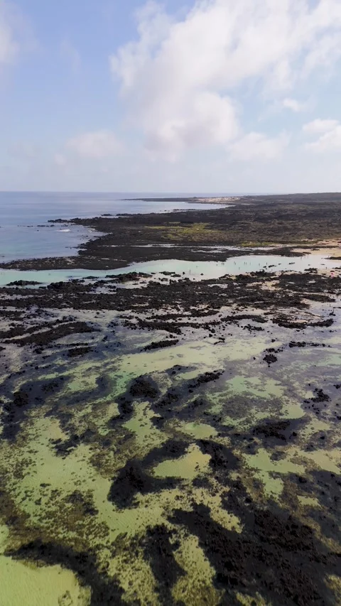
A striking series of natural turquoise pools formed by dark volcanic rock on the northern coast.
Charca de la Novia
A specific shallow lagoon area within the northern volcanic rock pools, known for its vivid water contrasts.
Faro de Punta Pechiguera
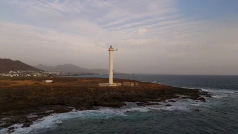
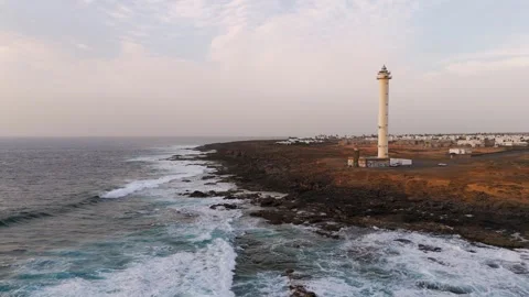
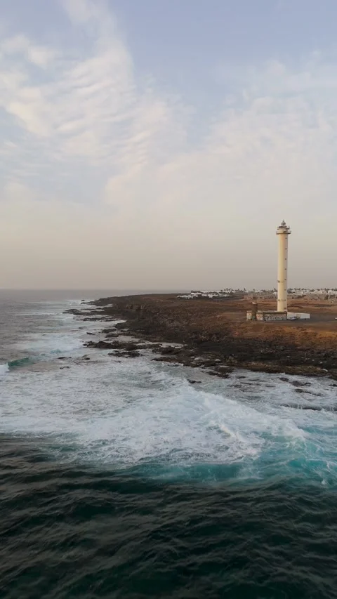
The isolated coastal lighthouse marking the southwestern volcanic tip of the island.
Playa Blanca
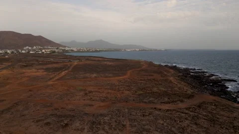
The southern coastal town, captured from the air to show its proximity to the rugged volcanic edge.
La Graciosa
The smaller neighboring island to the north, visible across the ocean strait from high-altitude flights.
Tracing the volcanic collision line
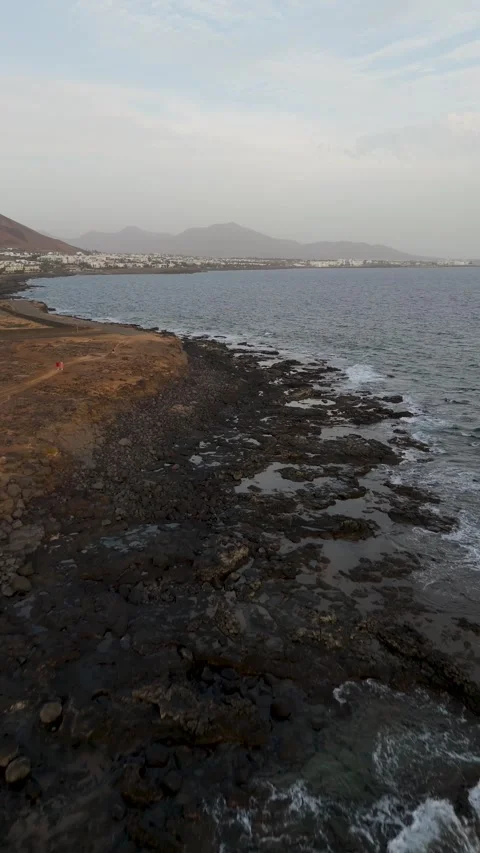
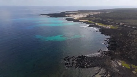
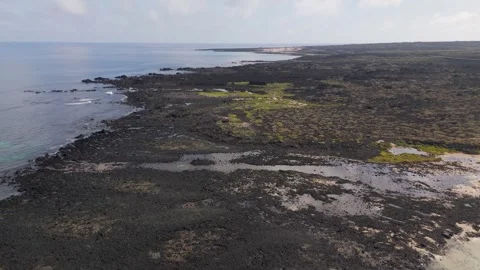
The defining feature of this island isn’t the sand; it’s the harsh, abrupt line where black basalt meets the ocean. I focused my aerial coverage almost entirely on this geological hostility. Flying low over the northern fringes near Caletón Blanco, you see how the rock fractures into isolated, shallow lagoons. The drone work here zeroes in on that authentic contrast—the aggressive, dark volcanic stone against the surprisingly vivid water of Charca de la Novia. The aim was to pull back and show the stark, rugged isolation of the landscape rather than the populated tourist strips, recording the practical reality of an island born from fire.
Altitude reveals and offshore perspectives
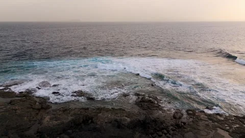
Ground-level shooting here often misses the bizarre scale of the coastline. By keeping the camera in the air, I was able to capture the broader context of the island’s extremities. Pushing to high altitudes above the northern coast reveals not just the immediate rock pools, but the distant mass of La Graciosa sitting quietly across the strait. The footage here relies on sweeping drone pans and high-altitude approaches, mapping how the ocean relentlessly batters the northern edges before giving way to calmer, shallower inlets. It’s an impressive, layered view of the island’s topography that you simply can’t appreciate from the road.
Coastal navigation markers and fading light
I wanted to document the practical, human elements that sit exposed on these shorelines out of sheer necessity. Down south, the landscape flattens out but remains just as unforgiving. I tracked the coastline past Playa Blanca, keeping the lens fixed on the structural isolation of the southern navigation points. The coverage transitions from harsh daytime top-downs into lower, circling flights around Faro de Punta Pechiguera as the light drops. Capturing this coastal marker at dusk highlights how vulnerable these remote outposts actually are when the sun disappears and the Atlantic darkens.