When people hear Macedonia, they usually think of the neighbouring country or standard Mediterranean holiday brochures. The reality of Greece’s northern mainland is actually a bizarre collision of Byzantine fortresses, rugged Alpine geography, and dense urban sprawl. I mapped this layered, historically complex territory heavily from the air.
Locations featured in Macedonia
Kastoria
A striking lakeside town built onto a peninsula, surrounded by dense forests and the towering peaks of the regional mountain ranges.
Lake Orestiada
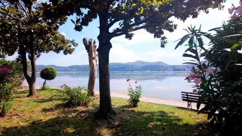
The vast, still body of water encircling Kastoria, offering perfect mirror reflections of the town's rooftops and shifting cloud cover.
Veria
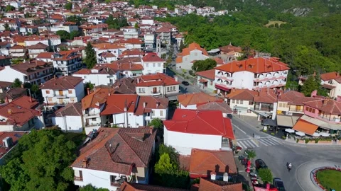
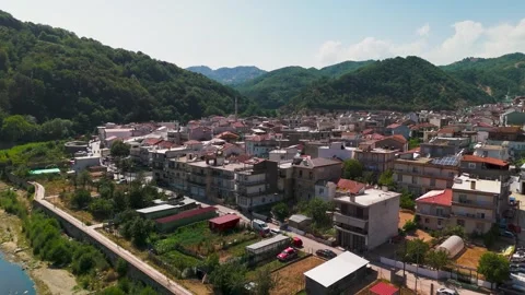
An ancient inland city where dense urban apartment blocks suddenly give way to preserved Byzantine ruins and Ottoman-era architecture.
Clock Tower Square
The central focal point of Veria, surrounded by lush trees and residential density.
Litochoro
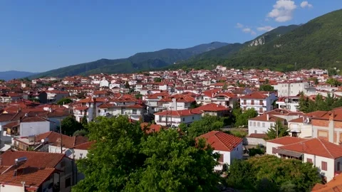
A traditional red-roofed town serving as the practical base camp at the eastern foothills of the Olympus mountain range.
Mount Olympus
The imposing, legendary mountain range dominating the skyline behind Litochoro, covered in deep pine forests and dramatic cloud layers.
Katerini
A modern commercial hub defined by its sprawling municipal park networks and clear sightlines toward the Pierian Mountains.
Katerini Municipal Park
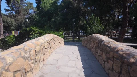
A massive green space cutting through the urban centre, featuring wooden footbridges, central fountains, and tree-lined pedestrian pathways.
Platamon
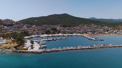
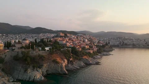
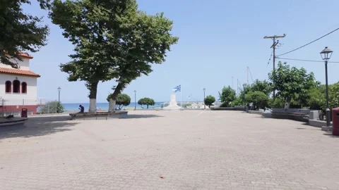
A working coastal town on the Aegean Sea, notable for its active harbour, quiet residential streets, and seafront monuments.
Byzantine Castle of Platamon
A massive, well-preserved 14th-century stone fortress sitting aggressively on a strategic hill overlooking the Aegean coastline.
Thessaloniki
Greece's second city, a dense, bustling metropolis where massive ancient ruins sit awkwardly alongside heavily trafficked modern streets.
White Tower of Thessaloniki
The iconic cylindrical waterfront monument standing isolated against the concrete promenade and the waters of the Thermaic Gulf.
YMCA Park
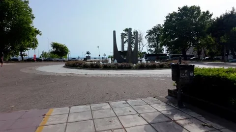
A landscaped urban green space in Thessaloniki featuring large decorative fountains and direct sightlines to the coastal promenade.
Alexander the Great Statue
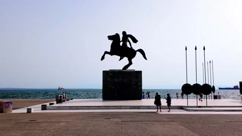
The imposing waterfront monument in Thessaloniki, silhouetted against the sea and frequently back-lit by the low evening sun.
Arch of Galerius
Also known as the Kamara, this massive 4th-century Roman masonry arch straddles a busy pedestrian thoroughfare in downtown Thessaloniki.
Rotunda of Galerius
A massive cylindrical Roman structure in the heart of Thessaloniki, visually distinct for its heavy brickwork and surviving minaret.
Nea Peramos
A rugged coastal settlement framed by sandy beaches and clear waters, heavily anchored by a bustling bay of fishing boats.
Nea Iraklitsa
A scenic seaside village featuring a dense marina, striking sandy beaches, and small chapels built directly onto the coastal rocks.
Agia Marina Chapel
A small, traditional Greek chapel perched on a rocky outcrop overlooking the sea in Nea Iraklitsa, ideal for sunset silhouettes.
Ammolofoi Beach
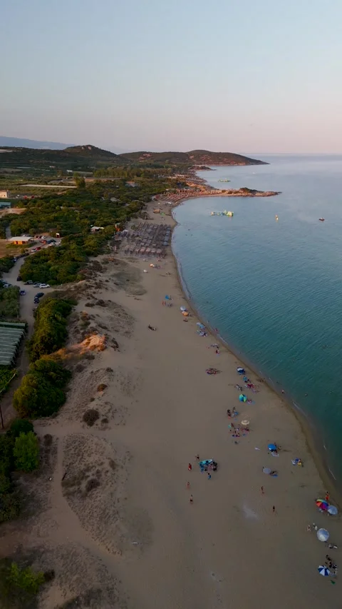
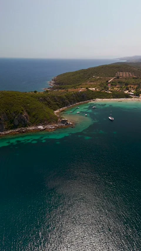
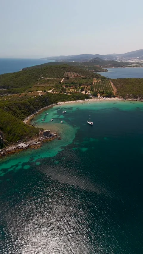
A long, sandy stretch near Kavala characterised by rugged coastal drop-offs and clear, shallow turquoise waters.
Vrasidas Peninsula
A rugged, isolated strip of coastline jutting into the sea, offering uninterrupted views of jagged rocks and anchored maritime traffic.
Keramoti Beach
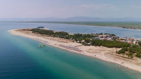
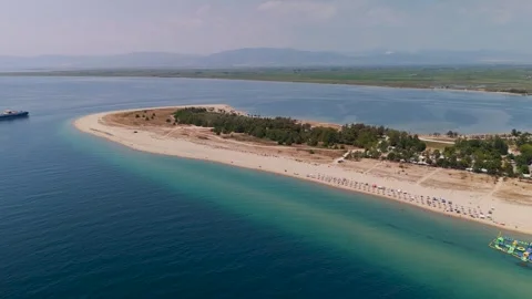
A vast, sweeping sandy bay flanked by beach clubs, dense pine forests, and constant ferry traffic crossing to the islands.
Kavala
A major northern port city built like an amphitheatre onto the coastal hills, defined by its massive aqueduct and historical fortress.
Panagia Peninsula
The elevated Old Town of Kavala, a dense maze of colourful traditional houses and steep cobblestone streets jutting into the harbour.
Acropolis Fortress of Kavala
The dominating stone citadel sitting at the peak of the Panagia Peninsula, featuring defensive walls and a prominent round tower.
Roman Aqueduct of Kavala
Known as the Kamares, this towering arched stone structure dramatically cuts right through the modern city centre and busy streets.
Echinos Village
An isolated, densely packed settlement wedged deeply into the dramatic, forested folds of the Rhodope Mountain valley.
Ancient City of Anaktoroupolis
The crumbling, historic defensive walls and ruins overlooking the sea near Nea Peramos, offering stark geometric lines from above.
Drama
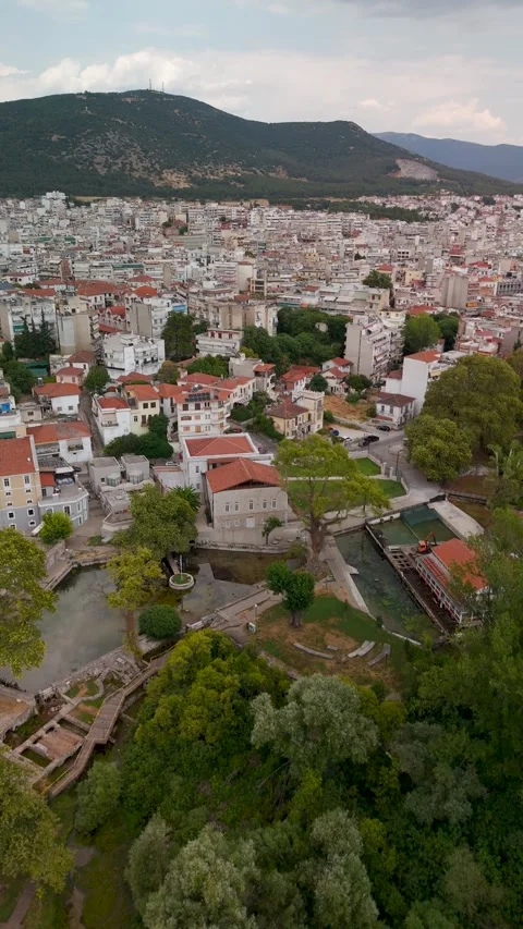
A northern inland city uniquely defined by its abundant, crystal-clear water sources flowing directly through its urban municipal parks.
Saint Barbara's Springs
A lush, water-filled park in the centre of Drama, where natural springs create bright green reflective pools amongst the concrete.
Aggitis River Cave Site
A dramatic geological site near Prosotsani where the river exits a massive cave system into dense, green woodland.
Thasopoula Islet
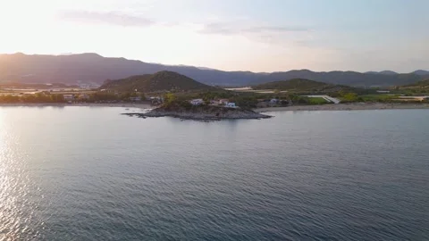
A small, uninhabited landmass sitting isolated in the Thracian Sea, providing a stark contrast to the busy mainland coast.
Xanthi Old Town
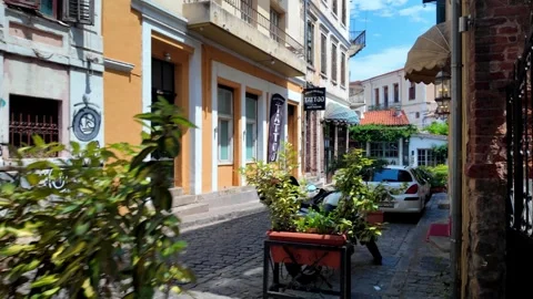
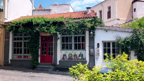
A hillside historical district filled with winding cobbled streets, dilapidated neoclassical mansions, and traditional wooden buildings.
Kosaynthos River Valley
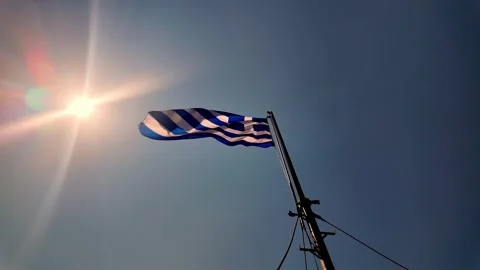
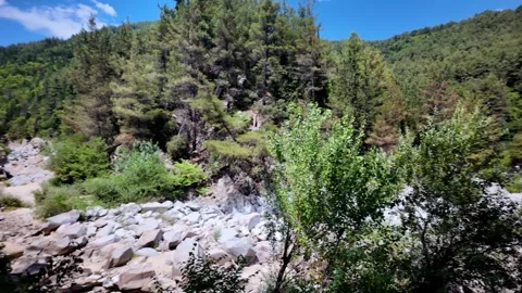
A dry, rugged river valley cutting near Xanthi, often framed by the regional winds blowing the national flags.
Kalambaka
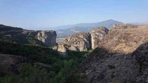
The town sitting directly at the base of the towering, sheer rock pillars of Meteora, providing a massive sense of geological scale.
Meteora
The bizarre, towering natural sandstone rock pillars rising vertically from the plains, famously housing isolated ancient monasteries.
Why the northern mainland demands a different filming approach
The northern mainland of Greece rarely makes the standard travel itinerary, and out of spite for the crowded southern archipelagos, I decided to point the camera here. It is an impressive, isolated expanse where the Mediterranean climate crashes into rugged Balkan weather systems. You don’t come here for whitewashed walls and blue roofs; you come for the imposing presence of Mount Olympus looming over the Aegean, or the deep, forested folds of the Rhodope Mountains. My coverage pushes deep into this territory, tracking the geographical shift from the flat, sandy expanses of the Thracian Sea coast right up to the high-altitude cloud cover of the interior. The drone work here required a logical, patient approach, waiting out coastal winds and navigating the sudden drops in temperature as you move from the sea up into valleys like the Kosaynthos River Valley. It is an area defined by its striking topographical layers, demanding a mix of wide aerial establishing shots to comprehend the sheer size, and locked-off gimbal tracking to capture the dense reality of its historic streets.
Coastal coverage from bustling ports to isolated peninsulas
The coastline here is practical, working territory, layered with quiet stretches of sand and active maritime infrastructure. I launched the drone extensively around Kavala, pushing out over the Thracian Sea to capture the sandy hook of Keramoti Beach and the constant ferry crossings connecting to the islands. Moving west, the topography fractures into more isolated coastal pockets. I tracked the rugged coast along the Vrasidas Peninsula and mapped the top-down geometry of the docked fishing boats at the Nea Iraklitsa marina. The long, sandy stretches of Ammolofoi Beach and Nea Peramos provided a harsh, bright contrast to the deep blue of the water, especially when dropping the gimbal down for dramatic vertical descents at sunset. Further south, where the Aegean Sea meets the Pierian coast, my aerials pull back to reveal the Platamon Harbor and its sprawling residential grid pinned aggressively against the water. I also pushed out towards the Thasopoula Islet to grab isolated, circling establishing shots of uninterrupted landmass, offering a stark alternative to the heavily populated coastal bays.
Tracking the Byzantine, Roman, and Ottoman architectural footprint
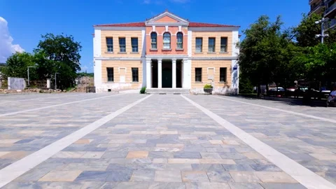
The historical footprint in Macedonia isn’t neatly cordoned off in sterile museums; it sits right in the middle of modern traffic. Capturing this meant flying close and maintaining a practical focus on the sheer size of these structures. In Kavala, I ran low approaches over the Panagia Peninsula to film the Acropolis Fortress, before dropping altitude to follow the massive arches of the Roman Aqueduct, known locally as the Kamares, as it slices right over the busy city streets. I spent hours circling the 14th-century Byzantine Castle of Platamon, framing its imposing towers against the bright Aegean backdrop to highlight its strategic dominance. The ancient layers are unreal when viewed from above. I pushed the drone out over the Ancient City of Anaktoroupolis near Nea Peramos to reveal its old defensive walls from a bird’s-eye perspective, tracking the geometry of the ruins. Inland, I mapped the Byzantine Tower and Acropolis Ruins in Veria from high altitude, and walked the ground with a gimbal to capture the Old Metropolitan Church and the Ottoman Administration Building, documenting the bizarre architectural evolution of the region.
Navigating the dense urban grid of Thessaloniki
Thessaloniki is a sprawling, dense collision of brutalist concrete apartments and ancient ruins. I kept the drone work focused on the major urban landmarks, running wide, high-altitude circles around the White Tower of Thessaloniki to show its isolation against the vast waterfront promenade. The YMCA Park provided a necessary green break in the concrete, allowing me to track from the central fountain directly out towards the Alexander the Great Statue standing guard over the sea. Ground-level gimbal work was essential to capture the massive footprint of the Roman remnants here. I walked past the colourful, densely packed apartment blocks to track along the Palace of Galerius, pushed under the imposing brickwork of the Arch of Galerius, and filmed the heavy, cylindrical geometry of the Rotunda of Galerius. It is a city that feels heavily lived-in, and the footage reflects that authentic, occasionally chaotic, urban density, contrasting the quiet interior of the Holy Church of Panagia Dexia with the relentless modern traffic just outside its doors.
The mountain lakes and alpine transitions of the interior
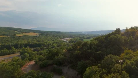
Pushing inland, the geography shifts drastically towards deep, still lakes and dense, vertical pine forests. Kastoria is arguably one of the most cinematically striking locations in the region, sitting on a natural peninsula jutting straight out into Lake Orestiada. I focused heavily on low-altitude skims across the completely still water, capturing the town’s perfect reflection before pitching the gimbal up to reveal the surrounding mountains. I ran long tracking shots past the Faneromeni Grove and towards Chloi, establishing the massive size of the regional water system. Further south, the terrain forces the camera upward. I launched from the traditional town square of Litochoro to run high-altitude approaches directly towards the towering peaks of Mount Olympus. The drone maps the transition from the red rooftops of the town, past the bell tower of the Saint Nicholas Church, and straight up into the steep, forested slopes. The aerial coverage here emphasises how genuinely isolated these settlements feel when pinned against the rugged verticality of the continent’s most legendary mountain range.
Documenting the isolated valleys and northern municipalities
The true north of the region offers a completely different, almost forgotten visual palette. I took the drone up into the Rhodope Mountains to circle Echinos Village, a densely packed settlement wedged tightly into the steep valley floor. The top-down views here reveal a practical, isolated way of life far removed from the tourist coast. In the city of Drama, the camera’s focus shifted to the unique water sources that define the area. I ran spiralling descents into the city to frame the Municipal Garden and the Saint Barbara’s Springs, capturing the lush greenery and reflective pools cutting straight through the urban centre. I also pushed out to Prosotsani to document the Aggitis River Cave Site, flying over the lush forest and walking the metal footbridges where the river violently exits the mountain. Down in Katerini, the Municipal Park and amphitheatre provided sweeping, green establishing shots, while my ground work in Xanthi tracked through Republic Square, past the Manos Hatzidakis House, and along the cobbled streets of the Old Town, capturing the beautiful dilapidation of the traditional architecture.
Lighting, weather, and the reality of the golden hour
Shooting in Northern Greece requires a strictly logical approach to the rapid shifts in light and weather. The marine layer along the Thracian Sea can kill contrast quickly, so timing the coastal flights was critical to ensure sharp footage. I captured striking golden hour and sunset sequences by circling the Agia Marina Chapel in Nea Iraklitsa, letting the low, warm sun flare directly through the drone lens. The sunrise approaches over the city of Kavala and the Panagia Peninsula were filmed specifically to catch the harsh morning light hitting the colourful historic houses before the intense midday glare flattened the architecture. I also filmed the rapid cloud movement reflecting off Lake Orestiada in Kastoria via timelapse, demonstrating how quickly the weather systems move through these mountain passes. Whether it was the low sun casting shadows against the Monumental Statue of Mehmet Ali Pasha, or tracking the shifting light across the dry Kosaynthos River Valley near Xanthi, the lighting in this collection is designed to highlight the rugged, dramatic, and completely authentic contours of the terrain.