Sicily’s cinematic value lies in its unyielding, spiteful topography, where ancient layers of Byzantine and Norman architecture were forced to adapt to rugged volcanic cliffs. My entire 299-clip drone audit bypasses the usual romanticized clutter, focusing purely on the practical reality of these isolated defensive structures and dense coastal cities. I wanted to see how the island actually holds up from the air.
Locations featured in Sicily
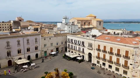
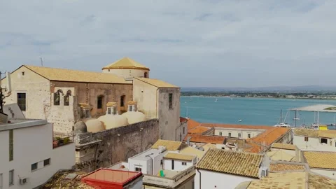
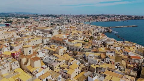
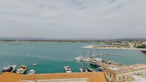
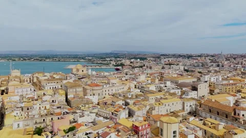
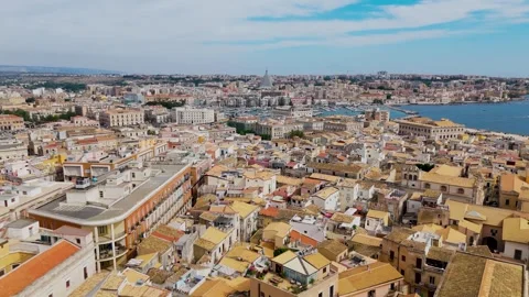
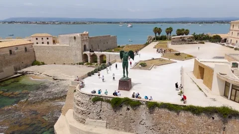
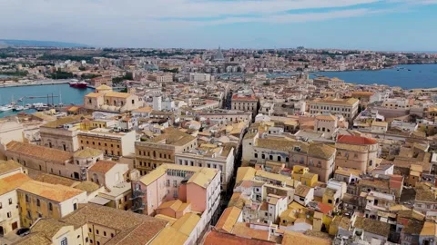
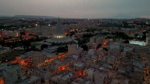
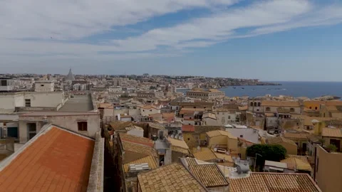
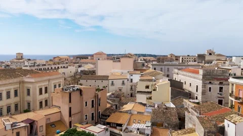
Isola Di Ortigia
The historical centre of Syracuse, densely packed with baroque architecture and surrounded by the sea.
Cefalù
Northern coastal town dominated by its Norman cathedral and sheer coastal cliffs.
Taormina
Hilltop town featuring ancient Greek theatre ruins and coastal structures backed by volcanic peaks.
Isola Bella
A small island nature reserve connected by a sand path, set within a protected cove.
Sferracavallo
A coastal neighbourhood outside Palermo where modern sprawl abruptly meets steep mountain terrain.
Marinello Beach
Distinctive shifting sand dunes stretching out into the sea beneath sharp mountainous drops.
Capo Milazzo Peninsula
A narrow, rugged strip of rocky land stretching into the Tyrrhenian Sea.
Tracing architectural layers requires bypassing the ground clutter
The sheer density of historical layers here makes ground-level shooting incredibly frustrating. I kept the drone in the air almost exclusively to make logical sense of the island’s layout. Approaching Cefalù from the Tyrrhenian Sea at sunrise actually reveals the practical defense strategies of the Norman cathedral, while circling the Tempio di Cristo Re and Sanctuary Madonna di Montalto in Messina exposes the aggressive topography these cities were built upon to survive. It is an impressive display of historical paranoia documented purely from elevation.
Volcanic geography dictates the coastal flight paths
The Sicilian coastline is defined by jagged rock formations and sudden shifts in elevation that challenge standard flight routines. Tracking the isolated coastal rocks near Kalura Beach or orbiting the Capo Milazzo Peninsula requires navigating harsh coastal winds, but it is the only way to capture the island’s authentic, rugged edges. I focused heavily on the stark, bizarre contrast between the calm waters of Isola Bella and the looming mass of Mount Etna in the background to show how the active geology dictates everything here.
Urban density creates bizarre historical contrasts from above
Navigating the airspace over Sicily’s urban centres is an exercise in documenting contrasting eras. I ran multiple low passes over the densely packed rooftops of Isola Di Ortigia in Syracuse, tracing lines from the ancient Castello Maniace all the way to the concrete bulk of the modern Basilica della Madonna delle Lacrime. Similarly, rising up over Sferracavallo to look toward Palermo highlights the unrelenting sprawl where modern residential blocks abruptly meet steep, unforgiving mountain barriers.