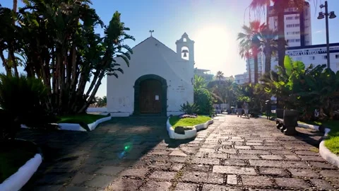
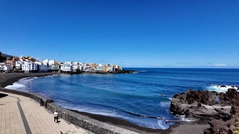
Tenerife’s reputation is largely built on packed southern beaches, but I wanted to logically audit what happens when you document the island’s more bizarre, isolated coastal architecture. My coverage skips the sunbeds entirely to focus on the rugged volcanic arches and abandoned monuments that actually define this shoreline.
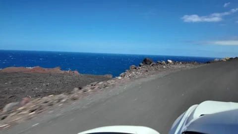
Locations featured in Tenerife
San Miguel de Tajao
Coastal fishing village known for its rugged offshore rocks and deep ravines meeting the ocean.
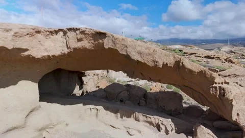
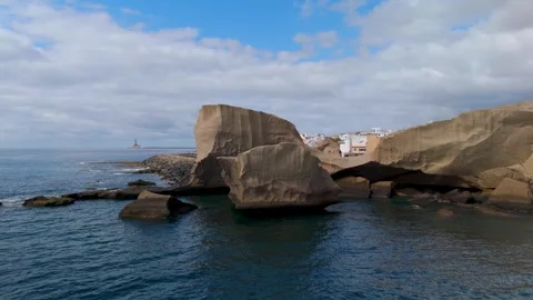
Arco de Tajao
A massive, naturally formed volcanic stone arch bridging a dry ravine near the southeastern coast.
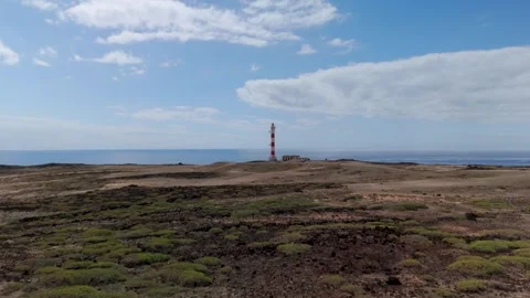
Punta de Abona
Southeastern headland defined by a functioning cylindrical lighthouse and adjacent coastal residential clusters.
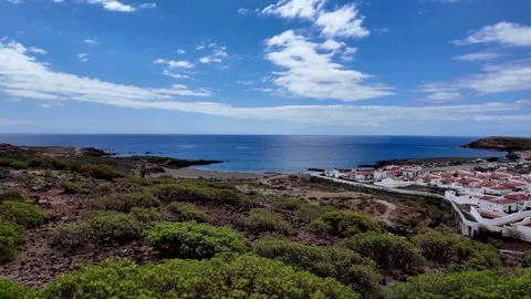
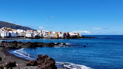
Playa Grande
Small residential settlement sitting directly on the harsh volcanic coastline near the Abona lighthouse.
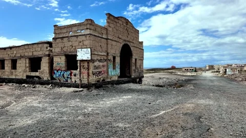
Abades Leper Colony
A sprawling, unfinished 1940s sanatorium complex featuring a prominent cross-topped church and dozens of decaying outbuildings.
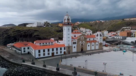
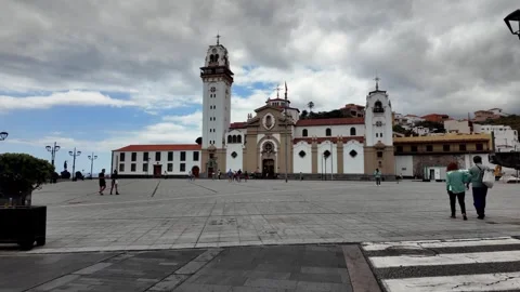
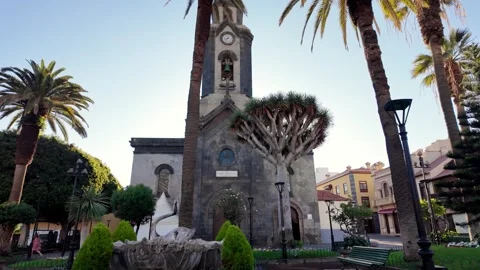
Basilica of Our Lady of Candelaria
The dominant religious structure on the eastern coast, commanding the waterfront with its distinct bell tower.
Plaza de la Patrona de Canarias
The expansive main square in Candelaria, bordering the ocean and lined with historical bronze monuments.
The reality of the volcanic coastline
I bypassed the manicured sand to focus on the rugged stone formations and functional maritime structures along the southeastern edge. You’ll find extensive drone coverage circling the Arco de Tajao, a bizarre natural archway that feels entirely out of place, alongside top-down tracking shots of the coastline at San Miguel de Tajao. Further along, I captured the Punta de Abona Lighthouse and the practical residential layout of Playa Grande from multiple altitudes, isolating how these settlements sit against the Atlantic.
Documenting structural decay from the air and ground
The most impressive architectural anomaly I found was the abandoned sanitorium complex on the coast. My aerials map the massive footprint of the Abades Leper Colony, providing wide pans over the ruined hospital, the unfinished church, and the isolated residential blocks. I also took the camera inside, walking through the vandalized, graffiti-covered hallways and small rooms. It offers a stark, logical contrast to the modern settlement nearby, showing the layers of history left to weather the elements in spite of ongoing development.
Civic design and coastal waterfronts
To balance the isolated ruins, I spent time tracking the coastal urban planning further north. The footage details the Basilica of Our Lady of Candelaria and the expansive Plaza de la Patrona de Canarias, mixing wide establishing drone sweeps with ground-level walks past the Guanche King Statues. I focused on the practical layout of the colorful commercial streets and the functional harbor areas, showing how the waterfront integrates with the Atlantic approach rather than just serving as a backdrop for tourists.