I went to Thasos to logically audit if Greece’s northernmost island actually delivers on its reputation as a rugged, emerald outpost in the Thracian Sea. What I found was a bizarrely lush landscape where dense pine forests bleed directly into sheer cliffs and ancient marble quarries. The logic of the island is vertical, and my coverage focuses on mapping that extreme geography.
Locations featured in Thasos
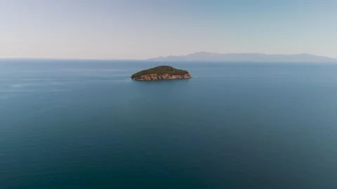
Fidonisi
A small, rugged offshore island in the Thracian Sea near Nea Iraklitsa.
Limenas
The primary island capital featuring a busy ferry port, working waterfront, and ancient ruins.
Ancient Theater of Limenas
Historical stone amphitheater elevated on a hillside overlooking the modern town and harbor.
Mount Ipsarion
The towering, densely forested mountain peak that defines the vertical geography of the island.
Panagia
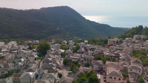
A traditional mountain village known for its whitewashed houses, stone rooftops, and historic church.
Golden Beach
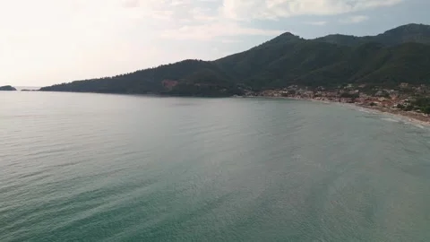
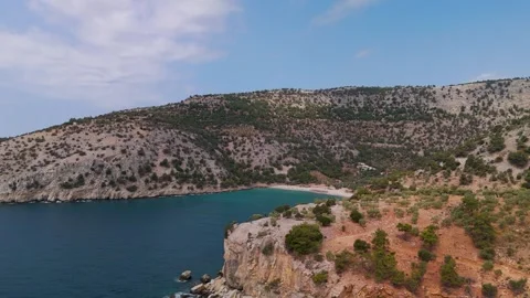
A massive, sweeping bay where sloping green hills and the slopes of Mount Ipsarion meet the sea.
Paleochori
A coastal hillside area featuring dense greenery descending sharply to the water.
Kinira
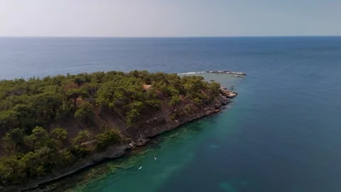
A coastal stretch where lush green pine forests bleed directly into the Aegean shoreline.
Nisida Kinira
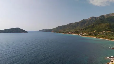
A prominent islet sitting off the eastern coast, framed by deep blue water and rugged shores.
Paradise Beach
A striking sandy bay near Kinira backed by dense, imposing forest canopy.
Alyki Peninsula
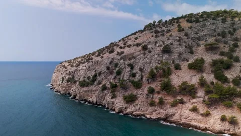
A jagged cape defined by its ancient sunken marble quarries leaving geometric cuts in the rock.
Monastery of the Archangel Michael
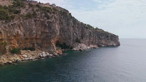
An imposing religious complex built directly into a sheer vertical cliff face above the sea.
Arsanas Beach
A small, isolated rocky cove situated below the cliffs of the nearby monastery.
Giola Lagoon
A completely natural, circular rock pool known as Aphrodite's Tear, carved into the coastal shelf.
Astris
The rugged southern coastal region that houses the fractured geology around Giola.
Theologos
An inland Macedonian village situated in a deep valley, featuring prehistoric ruins and waterfalls.
Kefalogourna Waterfall
A scenic natural water feature hidden within the rocky, forested terrain near Theologos.
Limenaria
A southern coastal town marked by its industrial mining history and dramatic rocky shores.
Medalia Beach
A rugged stretch of coastline characterized by heavy stone formations and deep waters.
Castle Speidel
An imposing historic mining administration building overlooking the town of Limenaria.
Crown of Limenaria Monument
A distinct architectural landmark positioned on the coastal cliffs in the south.
Skala Marion
A traditional fishing village surrounded by fragmented, rocky coves and steep hills.
Fari Beach
An isolated coastal segment near Skala Marion with coastal villas and harsh stone drops.
Emerald Beach
A small, vivid bay defined by bright water striking the rocky Macedonian coastline.
Atspas Beach
A tight, protected cove with distinct, hard coastal geology near Skala Marion.
Prinos
A busy western port area where dense forest lines meet the working harbor and beach.
Kallirachi
A densely packed traditional village built directly onto a steep, imposing mountain slope.
Kazaviti
A deeply isolated, lush valley settlement surrounded by towering trees and mountain peaks.
Keramoti Port
The mainland Greek departure point for ferries heading across the Thracian Sea.
Ammoglossa Beach
A distinct sandy peninsula visible from the water during the ferry crossing to the island.
Thasopula Island
A small, rugged uninhabited landmass sitting in the channel between the mainland and Thasos.
The geographical logic of the emerald island
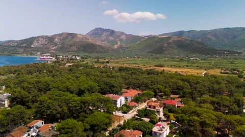
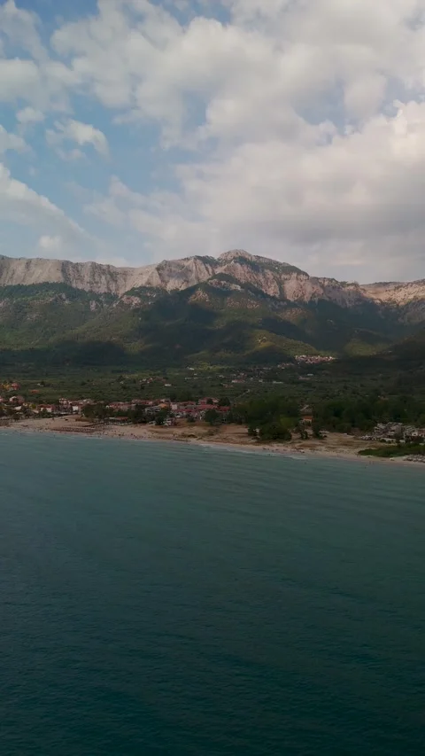
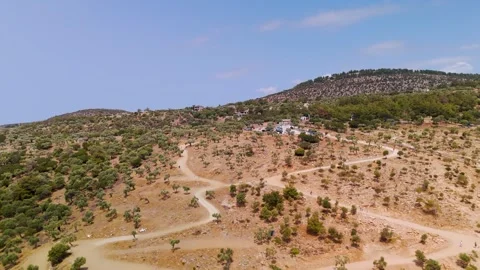
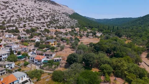
You can’t logically cover Thasos without understanding its verticality. The island is essentially one massive mountain plunging into the Aegean, heavily forested with pines that run right down to the waterline. I focused heavily on Mount Ipsarion, tracking the topographical drop from the peaks down to the coastal fringes. It’s an unreal contrast to the arid landscapes usually associated with Greece. I launched the drone from the traditional village of Panagia, mapping the whitewashed rooftops and the historic church before sweeping out toward the expansive sweep of Golden Beach. The sheer volume of green here is impressive. It makes the transition from dense forest to the blues of the Thracian Sea feel abrupt and deeply authentic to this northern latitude.
Coastal isolation and the Thracian Sea
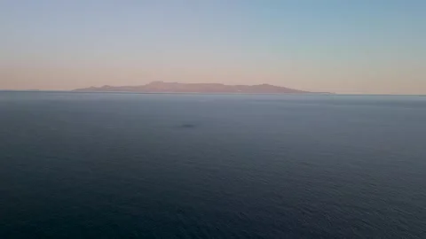
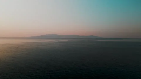
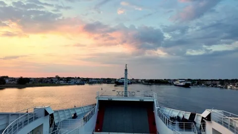
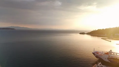
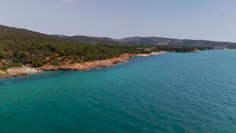
The water around Thasos is isolated and visually commanding, which makes for brilliant drone tracking shots. I spent time documenting the ferry approaches from the mainland, capturing the sunrise departures from Keramoti Port and the early light hitting the Ammoglossa Beach peninsula. Passing Thasopula Island and the smaller outcrops like Fidonisi near Nea Iraklitsa reveals the rugged isolation of these northern waters. It’s practical, working coastline. When you approach the island from the sea, the scale of the cliffs framing the water gives you a massive sense of arrival, especially as the ferries cut through the morning haze towards the ports.
Architectural layers built out of necessity
Thasos isn’t just trees and rocks; it has complex architectural layers that feel built out of spite against the steep terrain. I spent significant time flying over Limenas, circling the Old Port and the Ancient Theater that sits elevated above the modern town. It’s bizarre how seamlessly the ancient structures sit alongside the working harbor. Further south, the Holy Monastery of the Archangel Michael is an absolute fortress. I flew the drone up the sheer cliff face to reveal the monastery clinging to the rock—an impressive structural feat that demands aerial context to fully understand. Down in Limenaria, I audited the remnants of the mining era, circling the imposing Castle Speidel and the Crown of Limenaria Monument. The industrial history here adds a gritty, logical layer to the scenic footage.
Mapping the interior mountain villages
Most camera operators stick to the coast, but I found the real structural interest inland. The mountain villages are isolated pockets of traditional Macedonian architecture wrapped in dense valleys. I flew over the lush green valley at Kazaviti, tracking the canopy until the stone rooftops emerged. Kallirachi offered incredible wide approach shots, the village tightly packed against the mountain slope. Over in Theologos, I pushed the drone across prehistoric ruins and walked the ancient paths to capture the Kefalogourna Waterfall. It’s practical, ground-level reality mixed with sweeping aerials. You see the fresh water flowing through old pipes, the narrow streets, and the sheer effort required to carve these settlements into the rugged hillsides.
Navigating the shoreline’s fractured geology
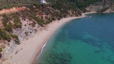
The southern and eastern coastlines of Thasos are geographically violent. I wanted to logically audit how the sea interacts with this fractured stone. At Giola Lagoon in Astris, I shot top-down verticals of Aphrodite’s Tear, a natural pool carved directly into the coastal rock, before flying out over the broader Thracian Sea. The Ancient Quarries at the Alyki Peninsula are similarly unreal. You can see exactly where the marble was cut away centuries ago, leaving precise, geometric scars in the shoreline. Moving up the coast, the approach to Nisida Kinira and Paradise Beach highlights how the lush forest aggressively meets the sea. The drone work here is all about revealing those harsh geological transitions.
Practical light realities across the western ports
To round out the coverage, I spent time tracking the light hitting the western beaches and fishing ports. The sun behaves predictably here, giving you hard, clean shadows across the coastal topography. I flew extensive top-down and circling patterns over Prinos Port and the adjacent Prinos Beach. Down in Skala Marion, the rocky coastline fragments into smaller coves. I ran approaches over Fari Beach, Emerald Beach, and Atspas Beach, keeping the camera low to catch the texture of the water hitting the rocks. Even at Medalia Beach and Arsanas Beach, the focus was on the interplay of natural lighting and the rugged shoreline. It’s highly practical footage for establishing time, place, and the relentless coastal environment of Macedonia.